One of the more innovative initiatives from the American Planning Association (APA) has been the development and growth of their Passport program. Passport is a subscription program that provides unlimited access to APA’s extensive online learning library. For planners with AICP accreditation, Passport provides over 100 hours of CM-eligible content. While planners are the primary audience for Passport, there is a great deal of content for those that work with planners, but may not be a planning professional, such as a planning commissioner, city councilor, or city/county administrator. Topics such as preparing for electric mobility, trends in green affordable housing, brownfield site transformation, and economic development essentials are all covered in Passport. Now, a city manager can quickly gain insight into how their city’s planning practice can tackle climate change, housing issues, transportation, and more without going to a multi-day conference.
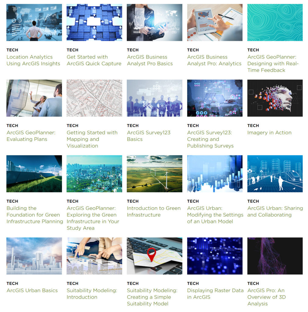
GIS has steadily become a mission-critical business system within planning offices around the world. More planners are embracing a geographic approach to planning, and GIS provides the data-driven approach to make that happen. Given this evolution, it is a natural fit for GIS to be an integral part of APA’s Passport program. That is why Esri is proud to continue its long-standing support of APA by contributing 32 courses to Passport. Most of these courses are web-based, meaning that subscribers won’t have to have Desktop GIS software on their machine to be able to run most of the courses in the catalog.
Some of the featured courses include:
- Getting Information from a GIS Map – Learn about the relationship between attributes and thematic maps in ArcGIS Online. This course shows you how to create a map that reveals the hidden meaning in data.
- Getting Started with Mapping and Visualization – This course will explore 2D and 3D information products you create using ArcGIS and then learn how to identify the best product for you audience and needs.
- Going Places with Spatial Analysis – This course is for people who know something about data analysis and want to learn how the special capabilities of spatial data analysis provide deeper understanding.
- ArcGIS Urban Basics – ArcGIS Urban improves planning and decision-making by applying GIS technology to urban planning. This course will provide the basics of ArcGIS Urban and examine an ArcGIS Urban model.
- Applying the Racial Equity Workflow Using ArcGIS – This course will show how ArcGIS can apply a framework to address racial inequities in an organization and can expand community understanding of these patterns.
Several of the courses are phased courses, where you a provided an introduction, followed by more detailed training. The introduction courses are particularly useful as they help users get a better understanding of the whether the training is useful for them without making a significant time investment.

Joel Albizo, the CEO of APA, is particularly excited about the impact of the Passport program, and rightfully so. “Passport is a subscription-based online learning library published by the American Planning Association, and we’re thrilled to announce the addition of 32 planning-focused GIS Courses from ESRI as part of our long-standing partnership to support professionals who create great communities for all. It’s another convenient way to access ESRI learning and other useful content. From planning basics to ‘Upskilling’ topics like how to use ChatGPT in planning, Passport is a convenient, affordable resource to help stay relevant and valued in fast changing times.”
This is the first phase of participation in and support for the Passport program for Esri. As needs from subscribers and members evolve, Esri will provide additional GIS courses to meet these demands. To access the entire Esri catalog in Passport, follow this link – https://www.planning.org/passport/esri/


