Most recent
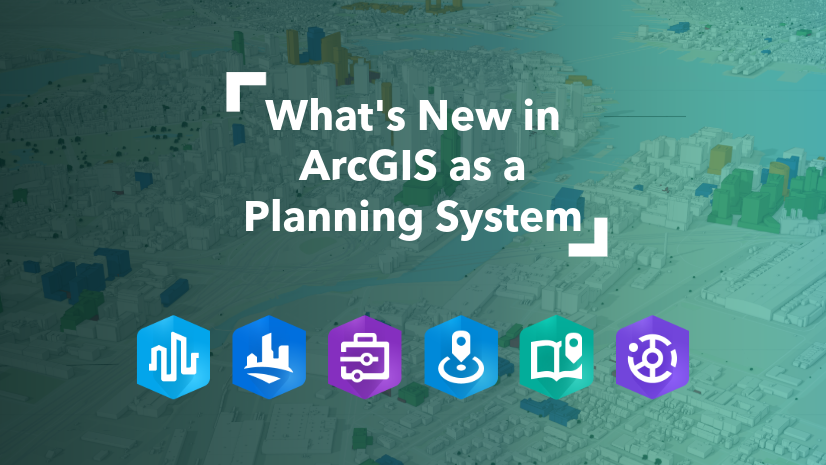
ArcGIS as a Planning System - Q2 Update
Explore Q2 2026 ArcGIS updates for planning departments—Urban, Business Analyst, StoryMaps, Hub, and more.

Esri's NPC 26 Recap: Housing, AI, and GIS Innovation in Detroit

The Essential Role of Regional Economic Development in Building Resilient and Thriving Communities

Four Reasons to Attend the Esri Planning Directors Summit

New State Legislation Reshapes Housing and Community Development

What the New User Types Mean for Planning Departments

When Planning and Economic Development Converge
The Role of GIS in Planning in 2025

A Recap of the Esri Planning Directors Summit
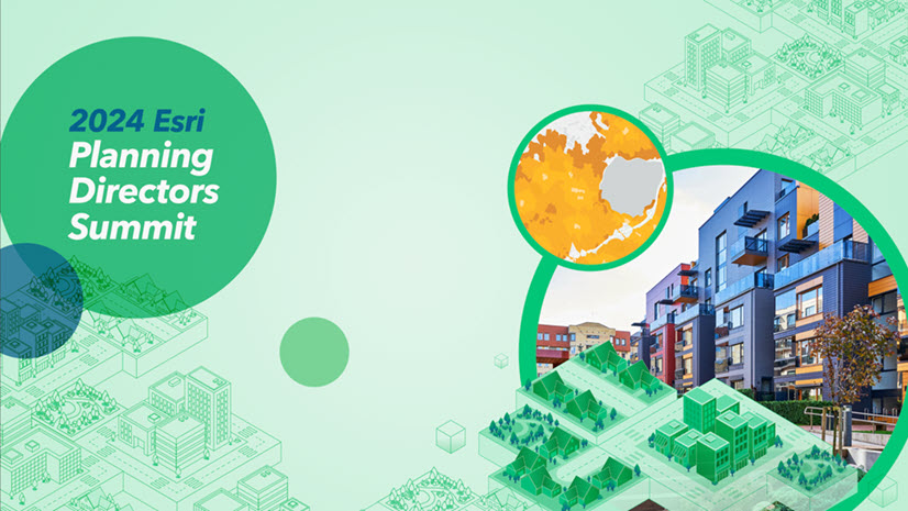
What You Need to Know About The Esri Planning Directors Summit

Park Perspective Series: The Planner’s Essential Impact on Parks and Green Spaces

The Housing Market Index and What It Means for Planning and Community Development

The Planner’s Guide to the 2024 Esri User Conference

The Emergence of GeoAI in Planning

How a Regional Council is Tackling the Housing Shortage

Esri at the 2024 APA National Planning Conference
Announcing the Esri Planning Directors Summit
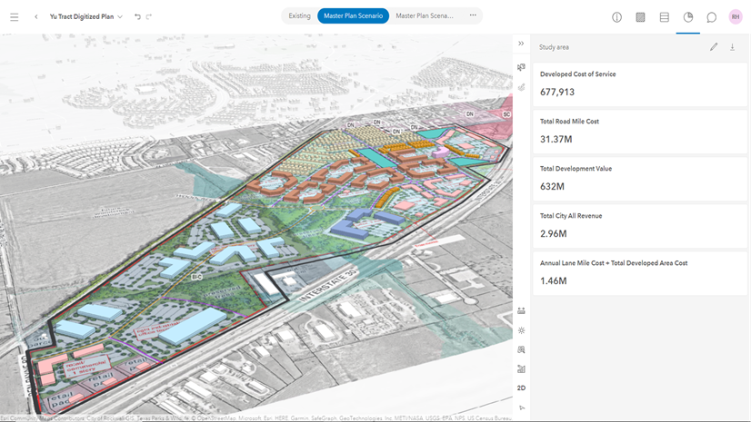
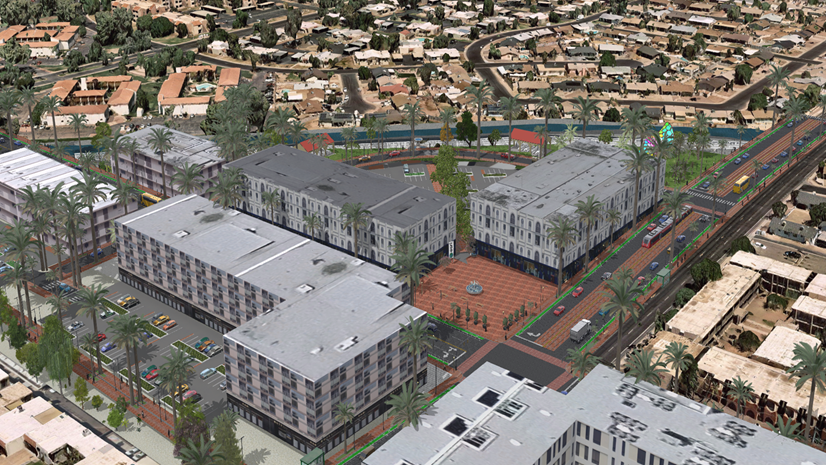
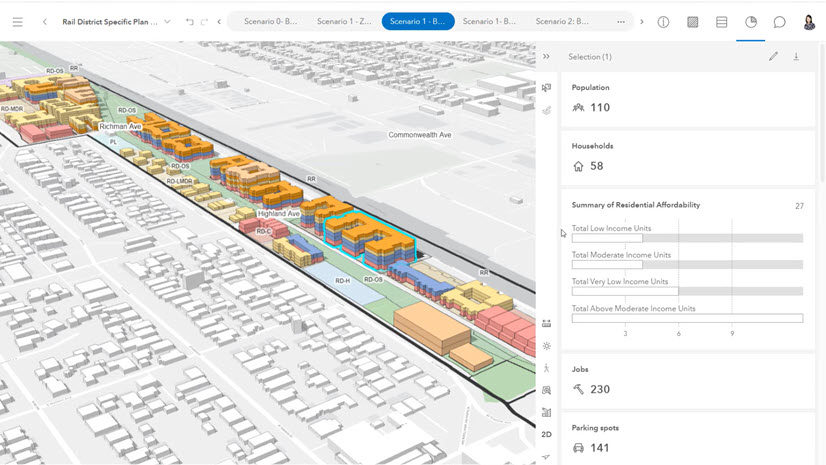
Designing a Fiscally Resilient City with ArcGIS Urban

APA’s Passport Taking a Geographic Approach to Learning

What PRO Housing Means for Planners

Understanding the Alignment of Economic Mobility and Community Development

What Community Development Professionals Can Expect at the 2023 Esri User Conference

Reversing the Economic Doom Spiral

Thoughts from the 2023 National Planning Conference

Planning for the Future: A Geographic Approach to the National Planning Conference