Challenge
BHC, a civil engineering firm with over 30 years of experience, faced a gap in its construction inspection workflow. Its construction services group, responsible for inspecting roadway and infrastructure projects, had invested significantly in tablets and Esri technology. Connecting high-precision Global Navigation Satellite System (GNSS) devices to ArcGIS Field Maps allowed the team to review project designs and collect accurate field data. While this workflow significantly improved dataflow and accuracy, a couple of key capabilities were missing. Station/Offset and Cut/Fill functionality, typically incorporated into traditional survey applications, were not part of the ArcGIS Field Maps toolset.
The challenge became more pressing as the construction industry shifted toward stakeless construction, in which contractor machines are guided by GPS rather than relying on physical survey stakes. For years, BHC’s construction inspectors had depended on those stakes to verify whether contractors were placing materials and structures in the correct locations. Without stakes on the ground, inspectors lacked visibility into spatial accuracy.
Station/Offset and Cut/Fill are standard terms used throughout the architecture, engineering, and construction (AEC) industry to identify locations on infrastructure projects. This functionality existed in specialized surveying software but not in ArcGIS Field Maps. BHC needed this capability integrated into its existing platform. Implementing an entirely separate software solution would have required additional investment, training, and workflow complexity that the team wanted to avoid.
Matt Brungardt, BHC’s Technology Innovation Director, explained the situation: “With no stakes on the ground, our inspectors are limited in their ability to verify where things are being constructed relative to their design location. Since Station/Offset and Cut/Fill are common ways to identify the location of things on infrastructure projects, they are perfect tools to have available within the ArcGIS Field Maps environment.”
Solution
In July 2024, Ashley McKay, BHC’s GIS program manager, connected with the ArcGIS Field Maps team at the Esri User Conference about adding Station/Offset and Cut/Fill functionality. This began a yearlong collaborative development process with monthly meetings, in-person sessions, and BHC providing sample data for testing.
In January 2025, Esri demonstrated the initial solution. BHC joined the technical preview group and tested through spring 2025. The official release date was October 25, 2025.

The solution added the two key capabilities to ArcGIS Field Maps that BHC had been looking for:
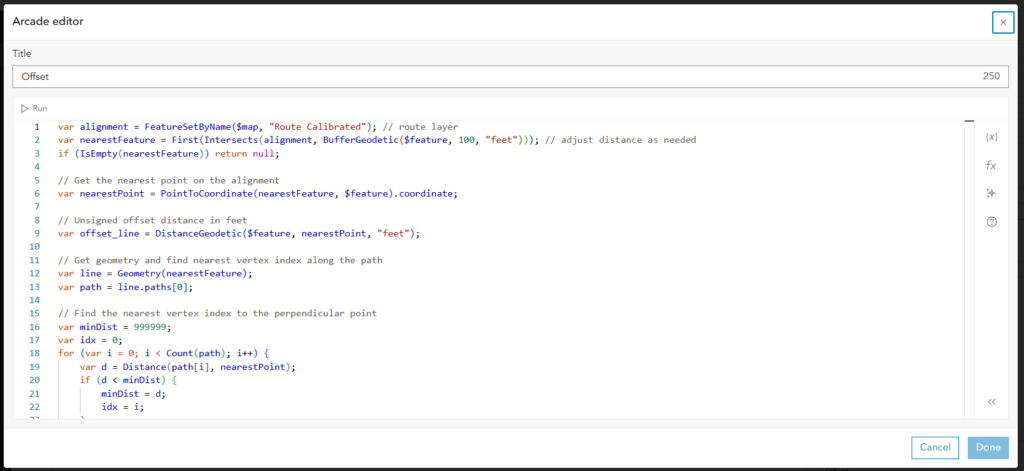
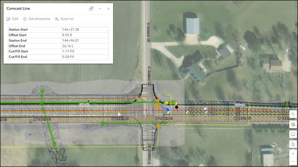
Station and Offset functionality: Allows users to locate positions along project alignments using standard AEC terminology. This enables construction inspectors to identify their location on a project using the same reference system shown on construction plans.
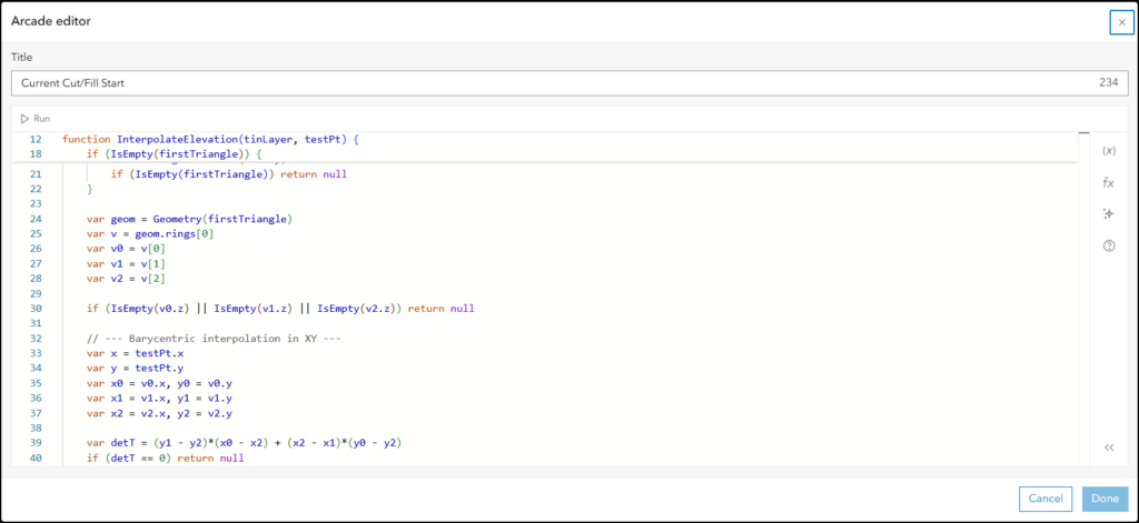
Cut and Fill functionality: Compares current elevation with proposed design surface elevation. On roadway projects where grades are changing, the tool tells inspectors exactly where they are relative to the proposed surface, indicating how much cut or fill is needed at any given location.
BHC deployed the solution using its existing infrastructure: Trimble DA2 GPS antennas with real-time kinematic (RTK) subscriptions for higher accuracy, connected to tablets running ArcGIS Field Maps and the Trimble Mobile Manager application. This integration leveraged equipment and workflows already familiar to the team.
Results
The implementation has already shown measurable success across BHC’s construction inspection operations. The construction services group, consisting of approximately 15 inspectors, began deploying the solution on active projects as the 2026 construction season commenced.
The first major implementation is a 22-mile paving project in Bourbon County, Kansas, divided into three phases and scheduled to run through summer 2026. This project has two to three inspectors actively using the ArcGIS Field Maps station and offset functionality to track activities along the entire corridor as paving, patching, and other work progresses.
A second project, a one-mile rural roadway upgrade that began in late February 2026, is using both the Station/Offset and the Cut/Fill functionality. This project involves widening the road and adding drainage infrastructure as development moves into the area. A third project is planned for later in summer 2026.
Training proved remarkably efficient. Because inspectors were already proficient with ArcGIS Field Maps and GPS data collection, they only needed to learn the new station and offset controls. Brungardt noted, “It really is easy to train this tool to the folks who were already familiar with using the GPS with ArcGIS Field Maps.”
Beyond immediate construction inspection applications, BHC sees additional value across its organization. Its design teams and public works group can use the tool for field verification and quality control, taking designs into the field and locating stations and offsets for verification.
The collaboration delivered exactly what BHC needed without requiring investment in separate software or workflows. As the construction season progresses, BHC continues to expand implementation across additional projects and team members, confident that the tool will become an essential part of its quality assurance and inspection processes.
In March 2026, BHC joined Pape-Dawson, expanding its capabilities while continuing to serve clients as BHC, a Pape-Dawson Company.
To learn more about Stationing and Offset capture using ArcGIS Field Maps, read this ArcGIS blog.
Learn more about location intelligence for AEC:
GIS for Architecture, Engineering, and Construction.
Stay Connected with Esri’s AEC Team:
Subscribe to the AEC industry newsletter “Esri News for AEC”.