Central Iowa Power Cooperative (CIPCO), a cooperative energy provider, delivers wholesale electric power to 13 member-owned electric cooperatives and associations across 58 counties. Headquartered in Cedar Rapids, CIPCO operates a diverse energy portfolio, including natural gas, coal, wind, solar, and hydro, ensuring reliable and cost-effective energy for rural communities.
Committed to innovation and operational excellence, CIPCO leverages advanced technologies such as GIS to enhance system reliability, optimize asset management, and inform strategic planning. With a strong focus on resiliency and grid modernization, CIPCO leverages spatial analysis to guide infrastructure development and streamline outage response.
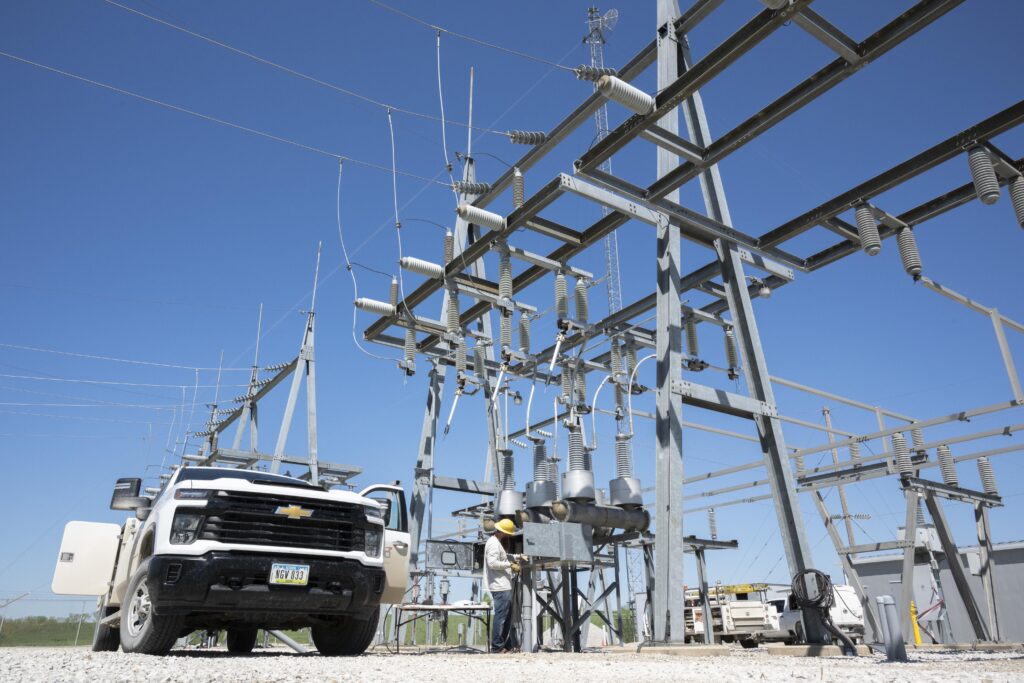
Crews working on a CIPCO transmission substation in Southern Iowa.
CHALLENGE
Before implementing a GIS solution, CIPCO relied on traditional tools like paper maps to manage assets across rural service areas. This approach posed limitations during severe weather events, particularly in areas with limited cell coverage. Locating damaged equipment and coordinating storm response required significant time and effort, which impacted the restoration speed. Infrastructure upgrade decisions were traditionally based on the age of power lines, which provided a general framework, but didn’t reflect real-time asset conditions, contributing to potential oversights where more immediate risks were present. This approach lacked the precision needed for proactive maintenance and resource allocation. The limitations of paper-based workflows and age-based planning underscored the need for a spatially driven system to improve visibility, responsiveness, and long-term infrastructure resilience.
“The real challenge during storms was pinpointing where the damage occurred. Another challenge was that our rebuild decisions were primarily based on the age of the lines, typically those 50-60 years old, rather than considering additional risk factors.” – Luke Carson, GIS Specialist, CIPCO.
SOLUTION
To modernize infrastructure management and storm response, CIPCO implemented ArcGIS, incorporating Survey123 for field data collection and dashboards for real-time visualization. In rural areas with limited connectivity, crews capture location data, photos, and descriptions offline, then sync the information when service is restored – enhancing both response times and situational awareness.
Dashboards provide office teams with live field insights, enabling more effective prioritization and resource allocation. The system also helps identify recurring issues and monitors lines without static wires, which are vulnerable to lightning. These spatial insights support a proactive maintenance approach and more strategic infrastructure planning.
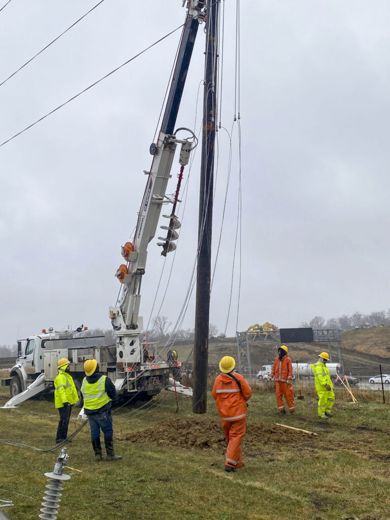
CIPCO crews performing repair work.
RESULT
CIPCO’s GIS implementation has significantly enhanced its ability to identify and address infrastructure needs. Real-time field data collection enables faster, more accurate responses and supports data-driven capital planning. By leveraging GIS insights, the utility can prioritize system upgrades and analyze flashover outage data to pinpoint areas impacted by copper theft.
“We use Survey123 and its underlying Excel infrastructure to capture location points, outage statistics, and compute different values. Leading to a creation of two different dashboards, one displaying transmission line stats and the other for substations.” – Luke Carson, GIS Specialist, CIPCO
GIS now plays a central role in CIPCO’s strategy to improve reliability while maintaining cost-effectiveness. CIPCO makes more informed investment decisions – targeting high-risk areas such as lightning-prone lines and regions vulnerable to material theft.
BENEFIT
Implementing the GIS system significantly improved reliability, efficiency, and long-term planning. Despite recent extreme weather events, the utility’s average service interruption is just 0.2 hours – or 12.5 minutes – per customer, reflecting measurable gains since adopting a data-driven approach to better target infrastructure planning. With ArcGIS and Survey123, field crews can report damage in real time using precise location data, photos, and notes, enabling faster and more accurate response times. These insights help target line upgrades and replacements more effectively, ensuring capital investments are directed more strategically, whether upgrading lines with static wires or targeting rebuilds with data-driven analytics. Beyond internal improvements, the GIS platform also opens opportunities for enhanced collaboration between utilities, which could lead to even faster outage response and shared insights for stronger, more resilient grid operations.
NEXT STEPS
Looking ahead, the utility plans to expand its use of GIS to support a more integrated, real-time operational environment. While in the very early stages, one initiative involves linking GIS with SCADA data to enable live updates on system status and breaker operations. Currently, only half of the utility’s substations are fully owned and operated, while the rest are maintained by a separate entity – making outage coordination more complex. Critical updates like breaker trips are currently shared with integrated system utilities via daily email.
To streamline coordination, the utility is working to incorporate adjacent utility data directly into its GIS where available, with the long-term goal of creating a unified map that displays both internally and externally operated substations. This comprehensive view will offer a more accurate, current view of the entire network. Additionally, plans are underway to leverage GIS for broader applications, including tax parcel mapping and pole inspection workflows. These enhancements are designed to improve decision-making, accelerate response times, and support more strategic infrastructure planning. As adjacent utility data sharing improves, the utility anticipates even greater reliability and collaboration, not just internally but also across partner organizations.
“The GIS team equips CIPCO with tools that enable data-driven analyses, which enhance system reliability and reduce costs.” – Terry Fett, Director, Engineering & Operations.

