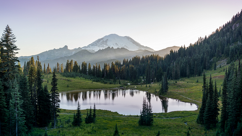
As we recently passed the one-year mark of when COVID-19 infiltrated the United States and we started quarantine, I was reflecting on this past year. It was just all-around tough. Although the positives were few and far between, one silver lining for me was more family time and most of that family time we spent outdoors, when possible. From just playing outside with my toddler in the evenings, to morning walks around the neighborhood, to picnics at parks on the weekends, and even a road trip to Glacier National Park in Montana, I definitely appreciated being able to get outdoors and escape (or just temporarily avoid) all the stresses of the past year.
I know not everyone appreciated the additional togetherness, or for some it was additional loneliness. However, I think most people can agree – after being stuck inside our homes for work, school, downtime, and everything in between, we gained a new appreciation of the outdoors. This was evident in the record numbers of visitors at outdoor spaces across the United States.
Although I’m sure the outdoor recreation facilities were excited that everyone with a pair of yoga pants or joggers is now frequenting their parks, trails, lakes, etc., this also presents many new challenges for them. They have to navigate how to safely and effectively manage their facilities and assets with an exponential increase in visitors. This is a complete 180 from where most facilities were at the start of 2020. Before the pandemic, many outdoor recreation facilities were facing a completely different challenge; they were struggling to get people enjoying the outdoors.
While the challenges are different before and during the pandemic, the technology the outdoor recreation facilities rely on to overcome them is the same. Agencies continue to turn to GIS to help them adapt and effectively provide visitors a refuge from the rigors of daily life.
At the start of 2020, Esri was helping outdoor recreation organizations solve their challenges with R3 (recruitment, retention and reactivation) using Esri’s Recreation Outreach solutions. For instance, South Dakota Game Fish and Parks was using GIS to recruit more outdoor enthusiasts, retain those that are already avid outdoorsy folks and reactivate those that may have been into the outdoors in the past, but just haven’t lately (the number of fishing and hunting licenses had declined significantly).

However, once the pandemic hit and people began flocking to outdoor recreation facilities as their escape, these recreation spaces no longer need to focus on recruiting new folks, they now need help responding to the opposite problem. Luckily, the same GIS technology they have used for years to manage their operations and maintain their assets is able to help them adapt to the new challenges presented by an exponential increase in visitors.
That is the thing about Esri GIS, it is adaptive and agile. It is with you for the long-haul and can help organizations quickly adapt to whatever situations arise. Tennessee State Parks and Massachusetts Department of Conservation and Recreation leveraged their GIS to help them quickly and effectively respond to COVID-19. Park managers were able to gain clarity on risks and capacity to maintain public health and safely reopen parks. The Tennessee State Parks GIS team conducted spatial analytics to determine park risk factors and carrying capacity to maintain public health at each of the state’s 56 parks.

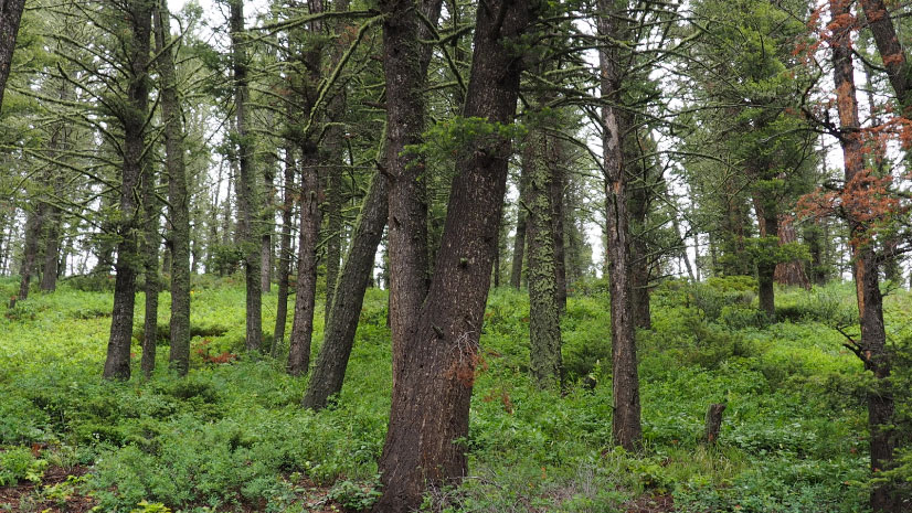
Even before the pandemic and now, as we slowly start to enter a post-pandemic world, outdoor recreation facilities are still challenged with various unique situations. On a “normal” day-to-day basis, these agencies have to deal with budget constraints, limited space, and changing environments and climate. They also have many various assets to manage and maintain — wildlife, animals, water bodies, rugged terrain, buildings, staff and visitors, to name a few. The professionals responsible for managing outdoor recreation spaces must balance the needs of an active public, the conservation of land, and maintenance of the entire network of facilities and properties.
GIS enables outdoor recreation staff to connect people in the field with their offices to restore, sustain and protect the assets within their facilities, while optimizing workflows. GIS is not new for outdoor recreation facilities and other natural resources departments, however these agencies are now starting to use the technology on an enterprise level.
Here are a few recent innovative uses of GIS for outdoor recreation:
- Texas Department of Parks and Wildlife used ArcGIS to create an Insights Viewer that now serves as that single source of information. Using GIS, the viewer brings together revenue, visitation and capital construction data into an intuitive dashboard that enables regional directors, park managers and other employees to conduct the kind of detailed analysis that just wasn’t practical before.

- Missouri State Parks established an enterprise GIS to inventory and manage more than 2,000 critical assets across their parks system.

- New Jersey Department of Environmental Protection launched an interactive mapping tool to present data about water management to officials and the public in a clear and actionable manner.

- Cobb County, Georgia PARKS created an ArcGIS Hub site to help visitors search for the nearest pond and get helpful information such as whether anglers can keep their catches, location of parking, and other amenities.

To learn more about GIS for outdoor recreation, check out this industry perspective we put together with GovLoop, How GIS Drives Innovation in Outdoor Recreation Spaces.

If you would like to get started, take a look at our Recreation Outreach Offering and let us know if you would like to speak with an Esri representative to help you implement these solutions for your agency.