DMT 2026 | Freeport, Maine | May 10–13, 2026
I flew to Maine on Mother’s Day for the Digital Mapping Techniques (DMT) workshop. And somewhere between the grief of a recent loss, the quiet of early-morning streets, and a room full of geologists and geographic information system (GIS) professionals sharing their project work, I found something I hadn’t expected: stillness.
There is a concept in geology called deep time—the notion that the Earth’s story is written in layers, each stratum a page in a record that stretches back billions of years. The ground beneath our feet holds answers that dwarf any single human concern. There is something profoundly humbling about that. And something, I discovered at DMT, deeply comforting.
I had come to Freeport, Maine, for the DMT workshop, an annual gathering of geoscience and GIS professionals from state geological surveys, federal agencies, and the private sector. The theme this year was From Field to Publication and Beyond: Comparing and Improving Our Workflows. On the surface, DMT is a technical gathering. In practice, it’s something more.
The workshop itself—first convened by Dave Soller of the US Geological Survey in 1997—marked its 30th gathering this year. Under his continued stewardship, DMT has grown into a trusted forum for advancing digital geological mapping through open exchange, shared standards, and practical collaboration across the mapping community. Hosted this year by the Maine Geological Survey, the meeting reflected both the strength of its foundation and the ongoing evolution of the field—bringing together practitioners to refine workflows, advance standards like Geologic Map Schema (GeMS) and the National Geologic Map Database (NGMDB), and collectively shape how geoscience is practiced and shared.

A Homecoming of Sorts
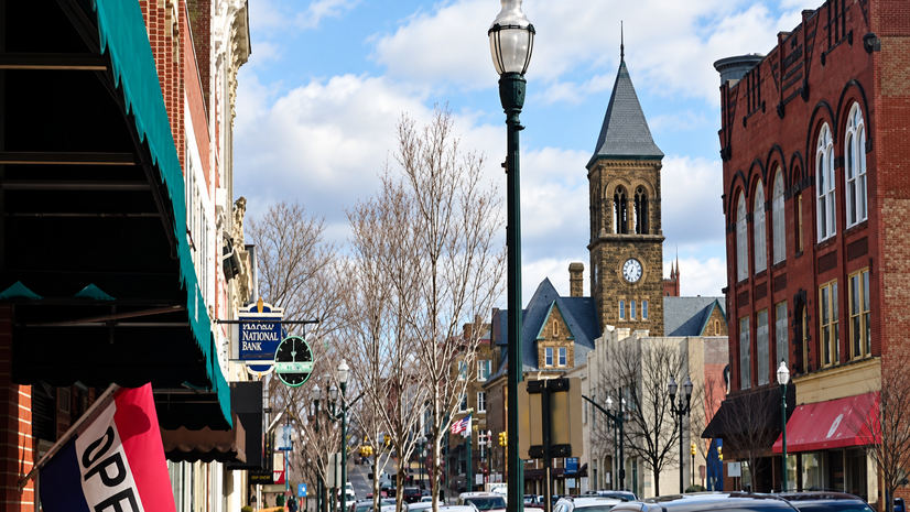
I grew up not far from here—Nova Scotia, Canada—and the pull of this corner of the world is something I carry quietly. As I walked the early-morning streets of Freeport, something loosened in my chest. This landscape, this light, this particular quality of northeastern air—it all has always felt like an anchor. A place where I can simply be.
My roots are in geology, physics, and geospatial technology. I did geologic fieldwork in Nova Scotia, New Brunswick, Colorado, Minnesota, and Indonesia—Borneo and Sulawesi—mapping rock and reading the Earth’s record in the way that only those who’ve knelt in the field with a Bruton compass, a rock hammer, and a hand lens truly understand. That work formed me. It is in my hands and my eyes, even if I no longer spend my days in the field.
So, when the DMT presentations began—when geologists pulled up their field photographs, their carefully constructed cross sections, their hard-won GIS workflows—something quietly rekindled in me. A sense of belonging. A calm I hadn’t anticipated needing quite so much.
The ground beneath our feet is both record and compass—it tells us where we’ve been and, if we pay attention, something of where we’re going.

What the DMT Community Brought to the Table
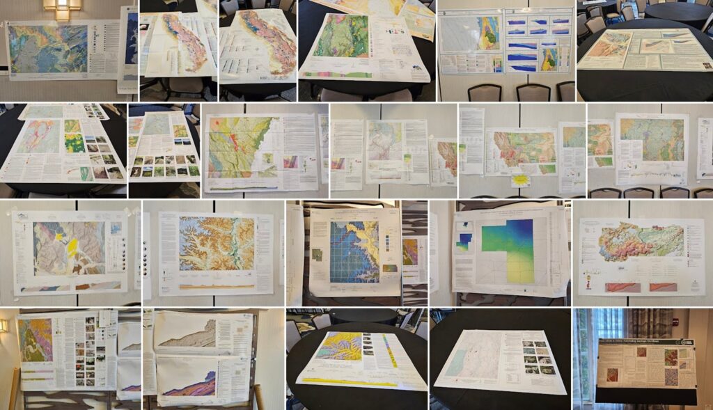
Over two-and-a-bit days of technical sessions, more than 60 geoscience professionals from across North America shared their best practices, setbacks, and hard-earned innovations—an exchange notable not only for its breadth but also for the openness and generosity of the community.
Among the attendees, 27 presenters representing 15 states delivered applied use cases demonstrating how ArcGIS supports geoscience workflows across disciplines, highlighting a shift toward integrated, data-driven approaches in geologic mapping where connecting field data, legacy information, analytical tools, and publicly accessible outputs is becoming the new standard.
The Grief and the Ground
Flying to Maine on Mother’s Day—a day that was already tender, made more so by the recent passing of my mother-in-law. She was a wonderful woman, and her loss is still fresh. I carried that ache with me onto the plane, into the hotel, on my morning walks.
There is something strange and right about grieving in Maine, in a room full of people who work reading the deep record of time. Geology teaches a particular relationship with impermanence. Formations rise, erode, compress, transform. What looks like loss, in deep time, is often just matter in transition, a record in formation.
I don’t say that to minimize grief. I say it because sitting in those sessions, watching geologists and GIS professionals light up about their work, I felt the grief settle rather than dissolve. It found its place beside something larger.
The quiet joy of these practitioners—the pride they take in their work, in sharing what they’ve learned, in contributing to something that will outlast them—offered me a calm that arrived exactly when I needed it most.
I observed field photographs and thought of my own time in the field. I felt the old satisfaction of it—the physicality, the patience, the particular pleasure of a boundary drawn correctly. And I felt gratitude for the role I now occupy: one that lets me witness these successes and setbacks, contribute to this community’s work, and help the science reach more people and places.
Why We Do This Work
There is a line that has been rattling around in my head since I arrived here: Work at a job you love, and you will never work a day in your life. It’s a well-worn sentiment. But well-worn things are often well-worn for a reason.
The geologists at DMT 2026 are not here for the recognition. Many work in state surveys with constrained resources, navigating legacy systems and funding pressures and the slow pace of institutional change. And yet the energy in that room—the genuine delight in a new tool, the laughter at a shared struggle, the careful attention paid to a colleague’s presentation—spoke of people who have found their thing and show up because the work matters to them, deeply and personally.
That matters to me. The work my company does—supporting Earth sciences by creating software to generate geospatial solutions and helping organizations like geologic surveys manage and communicate the knowledge encoded in the ground—is downstream of exactly this kind of dedication.
We are in the service of these practitioners and the knowledge they build. And walking the streets of Freeport at dawn during this gathering, I felt, with unusual clarity, that I am where I am meant to be.
The connections made at a gathering like this—the conversations over coffee, the exchange of contact information, the shared recognition of a problem you thought only you faced—are the signs of a scientific community. They are how knowledge actually moves.
What I’ve Taken Home
I got a reminder—visceral, grounded, arrived at through the convergence of grief and geology and a Maine morning—that this work is not just about maps or data; it’s about contributing to something enduring, meaningful, and far larger than us.
The work we do in Earth sciences carries weight and continuity that extends well beyond any individual project or quarterly report. We are custodians of a record. We are building infrastructure for decisions that haven’t been made yet—about resources, hazards, and the shape of the land.
That reminder was worth showing up for. That was worth the flight on Mother’s Day. Stay grounded. It can ignite your passion and enable true joy.