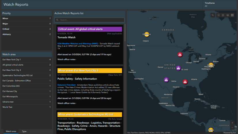
Emergency management organizations operate in a world that is increasingly connected, data-driven, and dynamic. They must coordinate across departments, support fast-moving operations, and make technology decisions that can withstand mission pressure.
In that environment, success depends on more than deploying a single app, using a point solution, or launching a new workflow. It depends on building a resilient system that can support the full life cycle of emergency management. This is where the Emergency Management Lens (EM Lens) in the ArcGIS Architecture Center may help.
The EM Lens reflects a broader effort to make architectural guidance more accessible and useful to the people shaping technology decisions. As organizations rely on ArcGIS to support increasingly critical workflows, there is growing value in guidance that connects product capabilities to enterprise design decisions.
The ArcGIS Architecture Center helps meet that need by sharing practical patterns, considerations, and decision support for real-world systems. The EM Lens is an important step in that direction. It offers guidance that is open, usable, and grounded in operational realities, while also pointing to a growing library of resources and decision guides to help organizations navigate the architectural choices ahead.
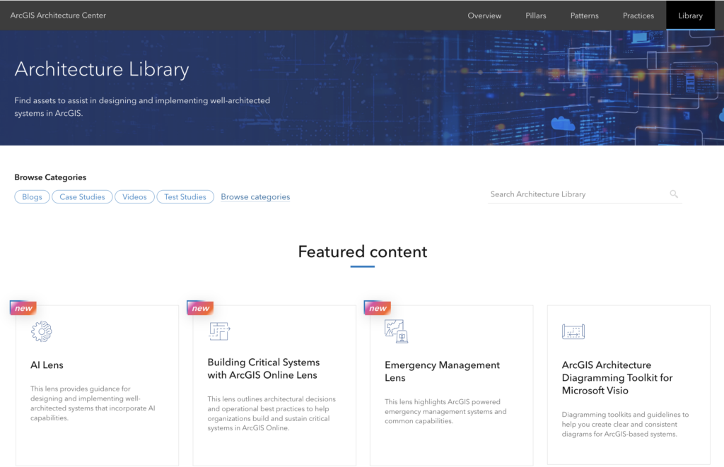
If you’re an IT expert, geographic information system (GIS) professional, or emergency manager looking to fully integrate ArcGIS throughout your emergency management enterprise, the EM Lens is for you.
Looking Beyond Individual Solutions
The EM Lens in the ArcGIS Architecture Center is designed to provide guidance for organizations planning, designing, and operating ArcGIS solutions in support of emergency management missions.
However, while ArcGIS product and solution documentation provides guidance on deployments and configuration, the EM Lens offers a more holistic perspective.
Rather than focusing on a single product decision or deployment pattern, the EM Lens examines how workflows, teams, and technologies come together across the broader emergency management environment. It helps create a shared understanding of how location intelligence can support preparedness, response, recovery, and mitigation in a coordinated and mission-driven way.
Why Architecture Matters for Emergency Management
One of the most important ideas behind the EM Lens is that it sits between strategy and technology products.
Emergency management organizations rarely meet today’s demands with isolated point solutions alone. They need systems that can support multiple workflows, evolve over time, and connect with the broader enterprise environment. The EM Lens recognizes that ArcGIS solutions can play an important role, but it also highlights the architectural decisions that shape how those capabilities work together.
It encourages organizations to consider deployment approaches, integration patterns, operational readiness, and workflows that extend beyond any single packaged solution. In doing so, it helps shift the conversation from simply adopting tools to designing systems that are intentional, scalable, and ready to support critical missions.
What Organizations Can Take Away
For organizations considering their own path forward in integrating ArcGIS as an enterprise system, the lens offers several practical takeaways.
First, effective systems depend on strong collaboration across emergency management, GIS, and IT. The most successful organizations are often the ones that build those relationships early and use them to shape systems that work in real operational conditions.
Second, those emergency management, GIS, and IT teams should be cautious about chasing a single solution that solves a single problem. While point solutions may address an immediate need, emergency management work typically calls for a more connected approach that can support multiple priorities over time and integrate data and information across an entire jurisdiction’s ecosystem.
Third, many organizations already have valuable technology investments in place. Before assuming that new challenges require entirely new systems, it is worth understanding how existing ArcGIS capabilities can be configured and extended to support mission requirements.
If you have questions about how to fully integrate ArcGIS into your emergency management technology architecture, contact us at emergencymanagement@esri.com.