Based in California, Laurel Ag & Water has a customer footprint stretching from Oregon to New Mexico, supported by 200 team members and nine office locations. Laurel Ag & Water supports the agriculture industry by helping implement precisely designed and built irrigation systems. In order for the company to grow while continuing to deliver a high standard of service, it had to standardize key processes to improve efficiency, productivity, and collaboration across the business.
Challenge
Working across a wide geography, maintaining consistency in the business processes deployed across projects is a challenge.
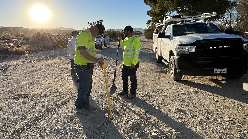
One such process is the collection of information in the field by Laurel Ag & Water staff. This process begins when an opportunity with a customer becomes a project. Those staff members, each of whom works in the field in a designated region, are tasked with gathering details on the project location: any existing irrigation systems, current assets, unique requirements, and much more. This information would then be provided to designers who create an irrigation system that meets the customer’s needs.
However, the way this information was gathered was informal and lacked consistency across the business. Often, when a project entered the design phase, designers had questions that could not be answered with the information that had been gathered, and further communication with the customer was required. This was inefficient for both Laurel Ag & Water and the customer.
After exploring a number of technology options, Laurel Ag & Water chose to implement ArcGIS technology to streamline the field data collection and management process. Laurel Ag & Water lacked the specific expertise needed to develop and deploy a geographic information system (GIS)-based solution and chose to partner with Pro-West & Associates.
ArcGIS is the industry-standard platform for our customers and offered all the capabilities we needed plus much more. We recognized that ArcGIS would give us room to grow and add to our solution capabilities in the future. We have big plans to scale our GIS within the organization and with our customers.
Partner
Pro-West & Associates provides services that bring value to its clients. Its team of GIS professionals is committed to providing unparalleled service, clarifying clients’ visions, and ensuring that the results they receive are well understood and provide long-term solutions.
Pro-West has stayed ahead in the rapidly evolving GIS industry for 30 years and continues to do so as the rate of change accelerates.

Solution
Working together, Franklin Gaudi, VP of design at Laurel Ag & Water, and Pro-West identified the ArcGIS products that were needed. ArcGIS Survey123 was used to configure forms that account managers and project managers could use on smartphones in the field. The forms standardized data collection to record details about the project location such as block information; reservoirs; and assets such as pumps, filters, and pipelines. The Survey123 forms were paired with an asset manager solution, allowing staff to view and edit all project information in a single location as well as leverage the latest web app-building technology.
ArcGIS Survey123 Forms
Each form has an extensive set of questions to help ensure that all possible details needed during the design phase would be captured. Photos can be taken in the field and added to forms as needed, saving time, improving accuracy, and providing valuable points of reference later in the project.
In addition, key equipment can be added for a range of asset types (for example, assets that are new, existing, or to be upgraded or replaced), each of which is symbolized differently. This enables the designer to understand at a glance what is required for each customer.
ArcGIS Experience Builder
Based on ArcGIS Experience Builder, the Asset Manager web app solution provides a visualization of all Laurel Ag & Water’s projects on an interactive map.
Users—such as account managers, designers, and project managers—can navigate to the location of their project to discover all the information recorded in the field via Survey123 forms, understand the locations of existing assets, and learn customer requirements or other relevant information.
The Asset Manager application also empowers Laurel Ag & Water’s designers to work on a project solution in any location without having to go on-site, bringing valuable flexibility and efficiency to the business.
ArcGIS Field Maps
To augment the data collection from the web forms, a map was built to allow workers another view of the assets without needing to access Asset Manager. Through Field Maps, workers can collect more information—including project boundaries, maps of routes, and asset types like valves and vents—and update existing data in a mapcentric solution. For assets that aren’t captured by a predefined asset type but are relevant to the project, a point of interest symbol is used.
Additionally, thanks to integration with ArcGIS Online, the map below has its own form to maintain data entry consistency with Survey123. Using smart forms, both the Asset Manager and Field Maps applications offer the mobile worker the same user experience.

Results
Site Visits
In case a service team member needs to go to the customer site after the initial visit, the new GIS-based system ensures that driving directions are available even if the site does not have an address. During the initial site visit, the account manager being guided to the project location by the customer can record the route driven in the Asset Manager application as information that can be utilized later by other team members. This creates significant efficiencies when traveling to off-road locations.
Preventing Project Overlaps
Laurel Ag & Water was concerned that designers may not know which assets are linked to which project on the map in the Asset Manager app. GIS was used to mitigate this concern by preventing the issue from occurring. A project boundary feature was added to the Asset Manager app, allowing users to draw the boundary of a project and assign it a unique number to distinguish it from other projects.
The combination of Survey123 forms, Field Maps, and the Asset Manager solution offers major efficiencies to Laurel Ag & Water’s business. Account managers can focus on their role, capturing a standardized and comprehensive set of preliminary information rather than having to answer several questions from the design team. The time spent trying to explain the necessary information for a project is now spent collecting detailed information, providing the right design for customers.
The Survey123 forms and Field Maps are easy to use on our phones, and we know that no matter the project, the correct information is collected in a systematic manner and can be accessed across the company, regardless of a designer’s physical location. This represents a powerful improvement in our operations.
Achieving Project Goals
Laurel Ag & Water is seeing value in the ability of the solution to meet the organization’s goals and allow room for future expansion:
- Team members can focus on their own role rather than having to fulfill multiple roles, providing increased efficiency.
- Customers receive their ideal project system with less demand on their time and fewer change orders.
- Process and system standardization has increased flexibility, transparency, and collaboration across the business.
- The entire process of capturing and managing asset information for projects is streamlined.
- ArcGIS tools offer scalability and many options for additional functionality in the future.
With huge potential to add to its existing GIS deployment, Gaudi has a vision for Laurel Ag & Water that leverages GIS to achieve even more value: “This project has revealed other opportunities for GIS tools and capabilities, like service call tracking and integrating with customers’ own GIS data. While the work done so far is highly valuable, there is great potential to use GIS to record and manage more data, connect with customers, and improve our workflows. We are already looking at increasing the number of GIS users within the organization. I’m looking forward to growing our GIS platform by offering asset management as a service to our customers.”
Stay Connected with Esri’s Water Team
ArcGIS is an extensive information system that enables modernization of workflows with easy-to-use applications for the field and office. Strengthen your organization with smart water solutions that will increase efficiency and provide insight for decision-makers. Visit the Esri Water Utilities web site for more information.
Join the Water Utilities Community
Follow #EsriWater on social media: Twitter | LinkedIn
Subscribe to the Water Industry newsletter “Esri News for Water Utilities and Water Resources“