Introduction
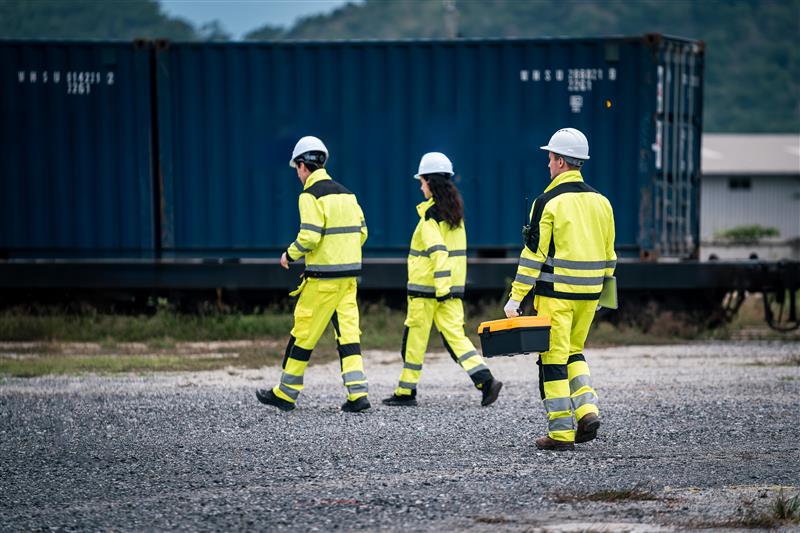
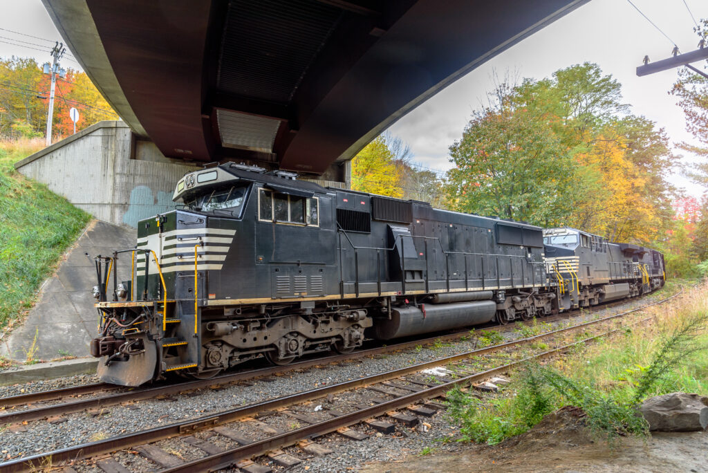
Mass Coastal Railroad (MCRR), a short-line railroad based in southeastern Massachusetts, operates approximately 120 miles of track and manages nearly 100 switches. With a network that serves both freight and passenger needs, keeping the infrastructure in optimal condition is essential for safety, compliance, and operational efficiency.
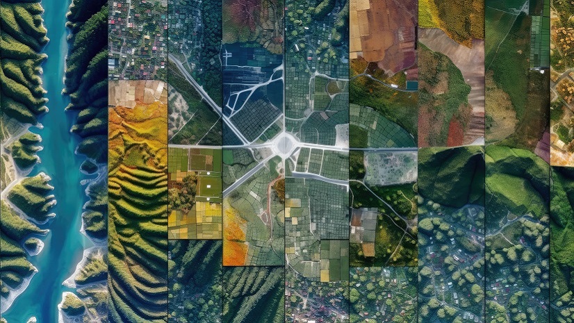
In 2024, track right-of-way engineer Calvin Corrigan saw an opportunity to replace outdated maintenance tracking methods with a modern, geospatially enabled solution. Leveraging his background with Esri’s ArcGIS technology, Corrigan led the effort to build a customized GIS-based asset and work order management system that transformed the railroad’s maintenance operations.
Challenge
Before adopting Esri tools, MCRR’s maintenance tracking was handled almost entirely through email and spreadsheets. Field crews submitted work items by sending photos and brief descriptions to the office, where they were manually entered into an Excel file.
“There was no real good way of tracking whether work items had been completed—or even where they were located in the system,” said Corrigan. “Occasionally, you would get a mile post… but you sort of just had to pinpoint it based on the photos, which is challenging when you have a network of about 120 miles and the better part of 100 switches.”
The lack of location precision created costly inefficiencies. Crews sometimes arrived without the right materials—or discovered that the work had already been completed weeks earlier. Identifying the correct switch was another recurring problem, especially in complex yards where multiple switches had similar identifiers.
MCRR also faced broader asset management challenges. Critical inspections, property boundaries, and infrastructure data were scattered across multiple systems—or not recorded digitally at all. The railroad needed:
- A definitive milepost and switch inventory
- Photo-enabled work orders tied to precise locations
- A centralized geospatial platform to manage multiple operational needs
- A cost-effective alternative to high-priced third-party rail asset software
Solution
Corrigan’s first exposure to Esri technology came while studying at Clarkson University, where he learned ArcGIS in the context of environmental mapping. During an earlier internship with MCRR, he had already demonstrated the value of GIS by creating a color-coded, milepost-based visualization of the railroad’s daily operating bulletin.
In 2024, instead of purchasing costly off-the-shelf railroad asset software, Corrigan proposed building a customized GIS solution in-house using Esri tools—primarily ArcGIS Pro, ArcGIS Online, Field Maps, Dashboards, and StoryMaps. “We would still to have to buy a GIS license every year, but that would be 1/20 the cost of other platforms, and we could do even more with it,” he explained.
The implementation included:
- Complete asset inventory: Every switch was cataloged with location, orientation, rail type, and a reference photo.
- Field Maps integration: Crews could enter work orders directly in the field, attaching photos and assigning precise milepost references.
- Custom dashboards: Office staff could filter and prioritize work orders by location, skill set, or urgency.
- Data layers for multiple use cases: Property boundaries, homeless encampments, weed spraying zones, capital project limits, crossing circuits, and environmental risk areas were all mapped.
One of Corrigan’s biggest wins was convincing the railroad’s veteran lead track inspector, who was known for his aversion to new technologies, to give up his paper-and-email methods. After a day in the field using Field Maps, even this staunch technology skeptic was “sold on it.”
The onboarding process was straightforward. “It was really easy for people to pick up,” Corrigan said. “Once I provided a login, all they had to do was download Field Maps and start filling in information on a pretty basic form.”
Results
Within the first month, the benefits were clear. MCRR could now instantly retrieve work order histories for audits, verify completion dates, and match field photos to specific assets. This transparency improved regulatory compliance and strengthened relationships with oversight agencies such as the Federal Railroad Administration (FRA) and MassDOT Rail & Transit.
When FRA inspector Owen Smith revisited previously cited defects, Corrigan could pinpoint completion times “down to the second.” The railroad now averages less than seven days to resolve 30-day compliance items—dramatically faster than with the old spreadsheet method.
Financial savings have been significant. “I could pretty confidently say that, at this point, we’ve probably saved close to $150,000 in the better part of nine months in use,” Corrigan said, “whether it’s the actual time of the guys in the field, or the wear on the equipment, or just not having to run around six different times to get materials.”
Other measurable gains include:
- Improved crew efficiency: Daily work assignments are now generated by filtering open work orders by trade, priority, and proximity.
- Better material planning: Work orders specify exact replacement parts and measurements, eliminating return trips.
- Enhanced property management: GIS-enabled surveying verifies property boundaries in disputes—often avoiding unnecessary removal or repair costs.
- Risk mitigation: Overlaying USGS floodplain data helps identify vulnerable track sections for coastal resiliency planning.
The system’s flexibility has also opened new opportunities. In the future, MCRR plans to digitize inspection reports for bridges in its service territory, linking them directly to mapped bridge assets for quick historical comparison. Similar enhancements are planned for railroad crossings.
MCRR’s efforts have even attracted attention from outside the organization. MassDOT Rail & Transit has praised MCRR for having empirical data that can be easily shared with engineering firms and project planners.
Reflecting on the transformation, Corrigan sees Esri technology as a long-term strategic asset. “The beauty of it is that it isn’t just the maintenance-of-way software,” he said. “We can do property line work with it. We can do our weed spraying maps with it. We’ve put together maps of our homeless encampments. We can identify the starting limits of a crossing circuit.” MCRR is even able to overlay USGS floodplain data to identify possible coastal resiliency issues.
Conclusion
By replacing email-and-spreadsheet workflows with a centralized Esri-powered system, Mass Coastal Railroad has achieved dramatic gains in efficiency, cost savings, and compliance. “It’s one of the best decisions we’ve ever made,” Corrigan said. “It’s helped all of our workforce across the board—our security department, our billing department, our guys in the field, and our C-suite stakeholders—to ensure we’re making informed decisions on a day-to-day basis.”
What began as a maintenance tracking upgrade has evolved into a comprehensive geospatial asset management platform—positioning MCRR for continued operational excellence and resilience well into the future.