Introduction
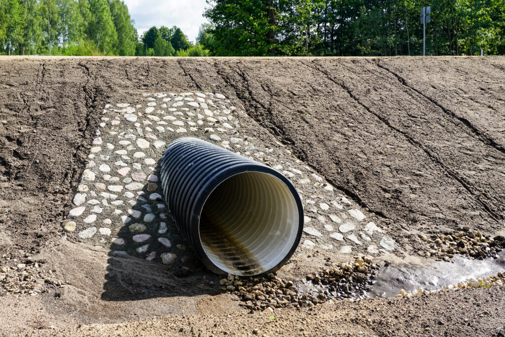
Culverts may not be the most visible part of California’s transportation infrastructure, but they are essential for maintaining safe and efficient roadways. These structures manage water flow beneath highways, preventing flooding and erosion that could compromise road integrity. With many culverts in the State Highway System exceeding 50 years in age, Caltrans faced mounting challenges in maintaining these critical assets. Recognizing the need for modernization, Caltrans partnered with Timmons Group to overhaul its Culvert Inspection Program (CIP) and implement a cutting-edge Culvert Inspection Management Solution (CIMS). This initiative represents a significant leap forward in asset management, leveraging GIS technology to create a unified, data-driven approach.
The Challenge
Caltrans oversees more than 50,000 miles of roadway and manages over 200,000 culverts across 12 districts. Historically, each district maintained its own inspection processes and data formats, resulting in fragmented information and inconsistent reporting. The original Culvert Inspection Program relied on non-spatial databases, leaving Caltrans without a comprehensive view of asset conditions.
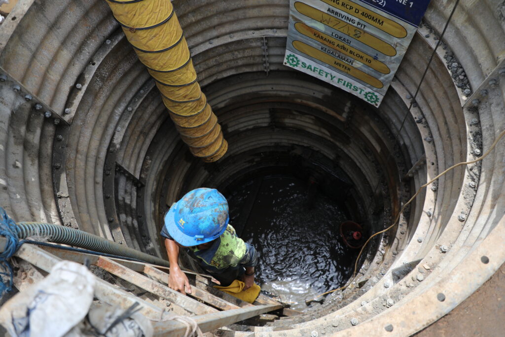
As culverts aged, issues such as blockages, eroded foundations, rusted bases, cracked concrete, and joint separations became increasingly common. Without standardized data, Caltrans often operated reactively—responding to emergencies rather than proactively planning maintenance. This reactive approach led to costly repairs, traffic disruptions, and safety risks for motorists. Furthermore, Senate Bill 1 introduced a mandate requiring that 90 percent of culverts be rated in good or fair condition by 2027, adding urgency to the need for a modernized system.
The Partner
To address these challenges, Caltrans turned to Timmons Group, a trusted leader in GIS solutions with decades of experience in modernizing workflows for government agencies. Known for tailoring solutions to meet specific client needs, Timmons Group brought technical expertise and a collaborative approach to the project. Their team worked closely with representatives from all 12 Caltrans districts to design a solution that would unify processes, standardize data, and enable real-time visibility into culvert conditions statewide.
The Solution
Modernizing the Culvert Inspection Program required a comprehensive strategy executed in two phases. The first phase focused on consolidating decades of inspection data stored in disparate formats. Timmons Group developed a standardized statewide data model capable of accommodating both historical and future records. Using ArcGIS Data Interoperability and FME Workbench, they implemented an Extract, Transform, Load (ETL) workflow to migrate data into a centralized enterprise geodatabase (eGDB). This eGDB now serves as the authoritative system of record for all culvert assets.
The second phase introduced a suite of GIS-enabled tools to streamline workflows and enhance field operations. Inspectors now use ArcGIS Field Maps and ArcGIS Survey123 to record data in real time, while ArcGIS Workforce optimizes task assignments. ArcGIS Pro and ArcGIS Dashboards provide powerful visualization and analysis capabilities, enabling Caltrans leadership to monitor asset health and prioritize maintenance effectively.
Timmons Group also implemented rigorous QA/QC processes, designed enterprise system architecture, and delivered statewide training and documentation to ensure smooth adoption. By integrating GIS into a historically paper-driven workflow, Caltrans gained a modern, agile system that supports proactive asset management.
The Results
The modernization of the Culvert Inspection Program has transformed Caltrans into a data-driven organization. With a centralized CMS database, the agency now has visibility into the condition of more than 200,000 culverts across 50,000 miles of roadway. Inspectors in all 12 districts can efficiently record, visualize, and analyze data, eliminating redundancies and inefficiencies that plagued earlier workflows.
This unified approach enables Caltrans to confidently report progress toward Senate Bill 1 compliance, ensuring that 90 percent of culverts will be rated in good or fair condition by 2027. Beyond regulatory requirements, the program represents a cultural shift—embracing technology to improve safety, reduce costs, and enhance operational efficiency. Caltrans now serves as a model for other transportation agencies nationwide, demonstrating the power of GIS in modernizing infrastructure management.
Staying Connected
The transportation industry is evolving rapidly, and staying informed is key to success. Connect with our team to learn more about how GIS is transforming asset management and enabling proactive maintenance strategies. Follow industry blogs, attend webinars, and engage with experts to stay ahead of emerging trends. By staying connected, you can ensure your organization is prepared to meet future challenges with innovative, data-driven solutions.