From Fragmented Data to Focused Growth: How Omantel Uses Location to Win
Omantel, Oman’s leading telecom provider,faced a widespread challenge in the industry: too much data, too little clarity. Sales and marketing teams were juggling spreadsheets, reports, and conflicting systems—each offering a piece of the picture, but none revealing the whole. What Omantel needed wasn’t more data. It was a way to see differently—to shift from reaction to anticipation, from broad marketing to precision targeting.
That shift began with a simple but powerful idea: what if geography became the lens for every decision?
The Shift: Seeing the Business Spatially
Once Omantel began organizing its core customer, network, and revenue data by location, something clicked. Patterns emerged. Blind spots disappeared. Decisions that once took days could now be made in minutes—with confidence. What followed was a comprehensive transformation, a new way of thinking, driven by a suite of integrated, spatially intelligent applications.
Applications that Tell a Story—and Drive Action
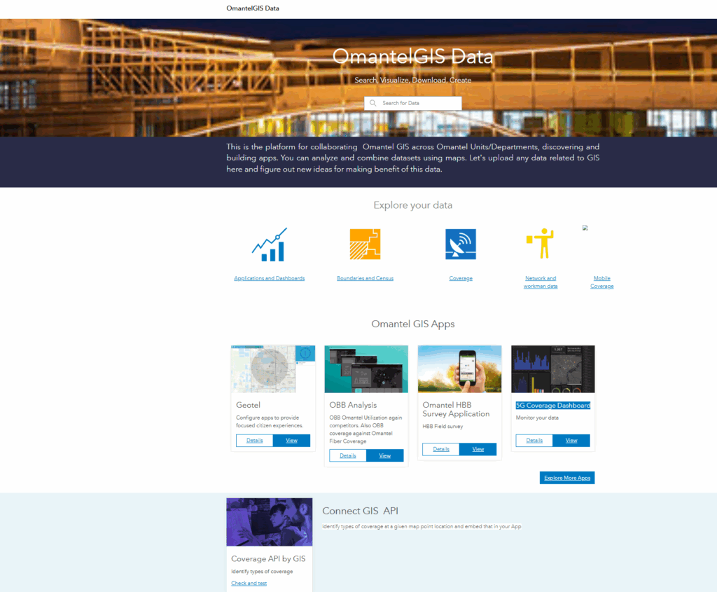
Omantel’s GIS team developed more than a dozen applications tailored to real business challenges, all connected through a live, location-aware platform:
- Market Share Visualization
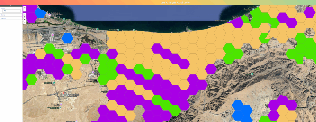
A dynamic map highlights where Omantel leads and where competitors dominate—down to the neighborhood. Teams can instantly spot zones with low market presence or strong competitor grip and act accordingly. - Geo-Profiling for Revenue Insights
Combines usage, technology coverage, and revenue metrics spatially to reveal where the network is performing—and where customer demand outpaces it. - High-Value Customer Tracking
Using anonymized movement data, Omantel now sees where its most profitable customers spend their days—and where they rest at night. This insight is shaping investments in coverage, retention, and loyalty. - Sales Enablement Export Tool
A field-ready interface lets teams define areas of interest, extract leads, and align marketing with operational readiness—all from the map. - Serviceability and Coverage Lookup
Whether a customer or a sales agent, anyone can now check available services—LTE, fiber, 5G—by simply entering a location. No back-and-forth. No uncertainty. - Network Operations Integration
Real-time data from legacy systems and backend infrastructure—including complex formats from the fiber network—are now visualized and analyzed on demand. - Revenue Heatmaps + Sentiment Overlays
Sales and marketing teams are identifying not just profitable areas, but profitable areas with positive customer sentiment—and flagging mismatches for action. - Fixed Network Ordering Portal
Customers can order services online by simply selecting their location. The backend auto-validates eligibility, reducing calls and accelerating onboarding.
A Company Transformed by Clarity
Omantel’s transformation wasn’t about technology. It was about trusting what you see, and seeing what matters.
- From manual Excel filtering -> Instant targeting on live maps
- From guesswork in expansion -> Data-backed growth and coverage investments
- From disconnected departments -> Unified view across sales, network, and service
- From customer assumptions -> Customer behaviors, revenue, and sentiment by area
- From reactive planning -> Location-led anticipation and strategy
Lessons Learned
- Location reveals patterns that data alone can’t. Once usage and revenue were mapped, new priorities emerged.
- Customer behavior is spatial. Where high-value customers go and when should drive both network and business strategy.
- Speed is a competitive edge. What took days now takes seconds, thanks to real-time data feeds, integrations, and spatial filtering.
- Integration matters. Connecting systems across departments through shared location-based workflows created a single source of truth.
The Results
- Accelerated go-to-market decisions
- Higher conversion through targeted campaigns
- Reduced time to qualify and fulfill customer requests
- Smarter infrastructure planning based on usage and profitability
- Better cross-team coordination—from wholesale to marketing
What started as a mapping initiative is now a core business capability—reshaping how Omantel serves, grows, and competes.
