Last week marked the first in-person National Planning Conference from the American Planning Association (APA) since 2019 and having a conference in San Diego is never a bad idea. For those that couldn’t make it, I wanted to provide a few of my thoughts about the conference.
The Joy of a Live Event
I must have spoken with a couple hundred people at the event, and almost everyone said some version of this: “It is so good to see people in person!” I couldn’t agree more. Some kept their distance, many were happy to shake hands, and even a few hugs were traded with long-time friends. Houseal Lavigne Associates and Esri hosted a reception in the Gaslamp District Sunday evening. We were all wondering if anyone would show up…in a bar…with the prospect of lots of other people…post-pandemic. But, we were pleasantly surprised to have about 200 in attendance. For all our advances in technology, there really is no substitute for a face-to-face conversation.

Housing, Housing, and…oh yeah, Housing
It’s no surprise that one of the key themes in the presentations and conversations at the conference was housing, from lack of availability, to lack of affordability, to needs in changing to a more equitable policy. A planning director I was meeting with said something to which most planners at the conference could relate, “I can make all the changes I want to in our comprehensive plan, but if I can’t get the types of housing built in a timely manner that our residents need, it’s just useless changes on paper.” I think she’s right, and it echoes many of the frustrations with which planners are dealing today.
Creating equitable access is even more of a challenge with a lack of supply and increasing demand. And then, do we have housing policies that are tied to policies of economic mobility, so that residents (especially low and middle-income) can live near their work, educational and healthcare facilities, grocery stores, parks, and so forth, without having to invest in a car? Housing affordability is not a concept that lives in a bubble, and it’s intrinsically tied to nearly every facet of planning.
Inter-agency Cooperation
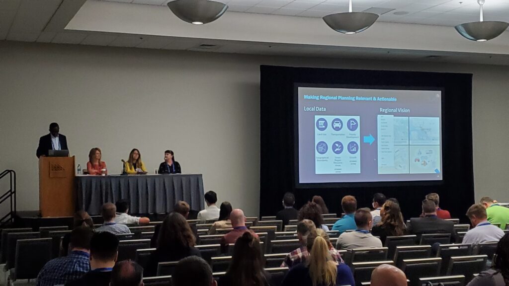
One of the more inspiring presentations I saw was about how the Southern California Association of Governments (SCAG) is providing a platform for its member municipalities to securely share their planning data (e.g. zoning, overlay districts, environmental, transportation, etc.) with SCAG and neighboring municipalities to help foster collaboration and a more regional approach to planning. As someone that started their career in a regional planning commission, it thrills me to see this kind of initiative take root and to be embraced from the largest to the smallest municipality. Equity needs to exist in access to data, too, and this is an outstanding start.

Geographic Approach to Planning
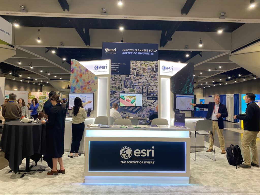
I’m not sure I’ll ever tire of planning professionals coming up to our booth, pointing to a monitor and say, “Yes! We’re doing that!” It’s equally rewarding to learn about what some organizations are struggling with and to be able to show them how GIS can help address their challenge. Every student (and there are a lot at NPC) that came to our booth had a story about how GIS is part of their under or post-graduate curriculum. GIS is clearly mainstream in planning now. It’s a mission-critical business system that planners must have in these increasingly challenging times to provide data-driven decision making.
There were some enlightening discussions about the digital twin, and what it means for planners today. We’ve said for years that 3D is no longer a luxury, from dealing with current planning workflows to scenario planning for long-range plans, and I think we’ve turned the corner with most planners in this regard. It’s attainable, but more importantly, necessary in modern planning workflows.
Oh, and StoryMaps. I must have had a dozen conversations with planners where I was showing a StoryMap, and they would say, “Hey, can I show you the StoryMap I made?” By the way, the answer to that question is always, “Yes!”
Quick Thought on the Expo
One of the changes that I’d like to see is how the expo is laid out. One of the more conspicuous changes I’ve noticed over the last decade of the conference is the drop off in the appearance of consulting firms (of all sizes) in the expo. I think it would be more beneficial to attendees and vendors to have themed areas, rather than the traditional rows of vendors. In other words, it could be more of a destination for planners looking to deal with specific issues, like updating their comprehensive plan, starting a zoning reform initiative, creating equitable housing policy, updating their permitting system, etc. All that said, I know that putting the conference together was no picnic for APA and there were many issues they had to deal with over the last year.
Conclusion
All in all, the NPC was a valuable and very enjoyable conference. Selfishly, I love being able to just listen and learn from so many planners about their projects, their goals, and their challenges. I never leave without learning something new and useful. We’ll be at several state chapter conferences this fall and are looking forward to seeing everyone in Philadelphia next year.

