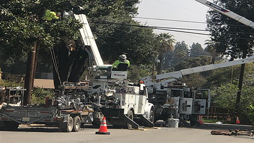
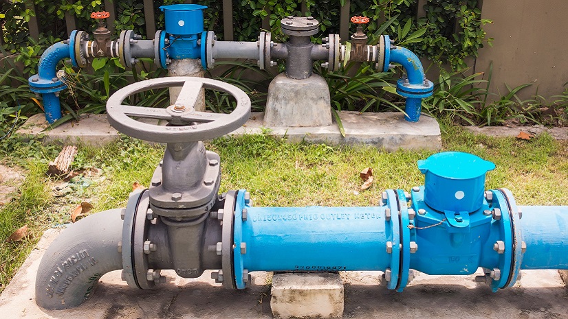
Veitur Utilities, headquartered in Reykjavík, Iceland, is the country’s largest multiutility provider, delivering electricity, drinking water, district heating, and wastewater services across the southwest region. Operating more than 7,600 kilometers of power lines and managing thousands of assets across diverse networks, Veitur has made geographic information system (GIS) technology central to its digital transformation strategy.
Working with Esri partner Similix and Icelandic distributor Samsýn, Veitur has migrated its electric network to ArcGIS Utility Network and integrated GIS with key enterprise systems to create a unified operational view. The platform now serves as the company’s information backbone—supporting asset management, field operations, network modeling, and communication across all business areas.
“GIS provides us an overview and information. It is the engine and integrated to many workflows,” said Valdimar Kjartansson, former GIS manager at Veitur and current consultant with GeoForm. “It’s a very important communication and collaboration tool—and an important part of streamlining procedures and achieving Veitur’s strategic goals.”
Challenge
Veitur’s legacy environment consisted of multiple disconnected databases and workflows, with teams often needing to reenter the same information across systems. This fragmented data landscape limited situational awareness, created inefficiencies, and made it difficult to maintain accurate asset records.
The utility’s unique operating context also demanded high data reliability and rapid access to network information. Located between two tectonic plates, Iceland faces frequent volcanic and seismic activity—with 11 eruptions in just four years between Reykjavík and Keflavík Airport. Infrastructure resilience depends on understanding the precise location, connectivity, and condition of underground and aboveground assets.
“Who hasn’t received data of poor quality and spent a lot of time making it useful?” Kjartansson noted. “Or had to open multiple systems just to access the information needed? These were the challenges we faced before our GIS transformation.”
Veitur set out to establish a single, integrated platform capable of supporting all utility domains, improving data quality, and connecting GIS with systems such as ADMS/SCADA, work order management, and field data collection.
Solution
Veitur began its ArcGIS Utility Network journey in 2019, focusing first on the electric distribution system. The GIS team, supported by Similix, conducted extensive data migration and data cleansing to transition from legacy models to the ArcGIS Utility Network framework. The process involved converting existing datasets, correcting topology, and building accurate connectivity across thousands of network elements.
A key focus was the development of subnetworks—the logical building blocks of ArcGIS Utility Network. Veitur created more than 8,500 subnetworks, representing the electrical hierarchy from 13 primary substations and 960 secondary substations down to street-level cabinets.
“[ArcGIS] Utility Network is built on subnetworks. It requires accurate topology, data cleansing, and accuracy for connected assets,” said Kjartansson. “It’s a lot of work—but it opens a whole new door of future opportunities.”
The team used ArcGIS Field Maps to inspect and document 7,700 street cabinets, integrating real-time field data into the GIS database. ArcGIS Dashboards provided live progress tracking, enabling managers to monitor the inspection and redrawing of assets directly within the platform. New substations are now designed natively in GIS, ensuring positional accuracy from the outset.
GIS has since become a central integration hub for Veitur’s digital ecosystem. The company has built bridges between ArcGIS and external systems, such as
- GE PowerOn ADMS/SCADA for operational monitoring.
- Work order management for outage and repair coordination.
- 3D visualization tools for spatial context and design.
- Smart meter data streams for consumption and performance analytics.
One integration enables users to transition seamlessly between systems. “A broken asset is selected in the GIS, the work order system appears, the form is filled out, and the information is now accessible to the whole organization in a dashboard,” Kjartansson explained. “The user almost doesn’t notice the transition.”
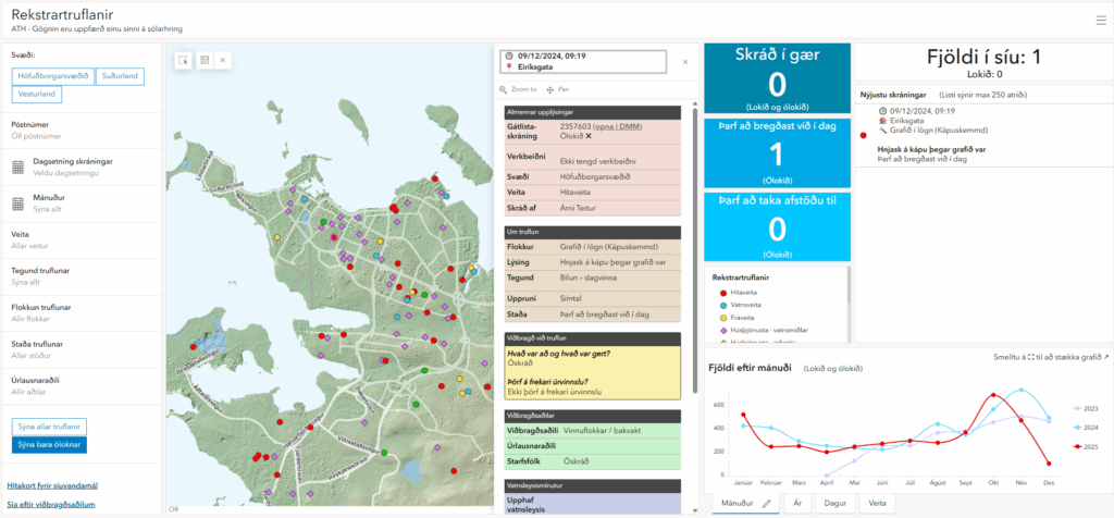
Veitur also employs ArcGIS Dashboards and ArcGIS Enterprise Sites for operational oversight and internal communication—displaying valve status, pipe leaks, cable statistics, and project progress in real time. The result is a collaborative digital environment where spatial data drives daily decisions across departments.
“It’s amazing that we can have all our pipes, cables, and everything mapped and visualized,” said Kristin Huld Thorvaldsdottir, manager of Digital Transformation. “We can use the same system to support many people across the company and make their jobs easier and more flexible.”
Results
By centralizing its utility data within ArcGIS, Veitur has created a unified, enterprise-grade asset database—a “database of needs,” as Kjartansson describes it—that supports network management, asset management, field operations, and collaboration across teams.
The benefits are both strategic and operational, and include
- Improved data quality and accuracy: Cleansed and verified topology ensures reliable network tracing and analysis.
- Real-time visibility: Integrated dashboards and live field updates keep teams synchronized.
- Reduced duplication: Eliminating redundant data entry has saved time and minimized errors.
- Enhanced planning and resilience: GIS supports proactive maintenance and disaster preparedness—critical in Iceland’s volatile natural environment.

“We used to just react when something went wrong,” said Thorvaldsdottir. “Now the demand is to plan ahead, be proactive in maintenance, and use our data to make smarter decisions.”
Veitur is also leveraging GIS for public transparency and coordination. Interactive maps show upcoming construction and maintenance projects, enabling residents and municipalities to anticipate disruptions and plan collaboratively. The utility’s next steps include extending ArcGIS Utility Network modeling to water and wastewater systems, deploying smart meters along with real-time analytics, and exploring the use of AI as well as simulation for hazard and service continuity planning.
“Veitur is preparing for future natural hazards,” said Kjartansson. “Could [ArcGIS] Utility Network, smart meters, and AI provide live views of the network and simulate different scenarios to minimize service disruption? That’s the direction we’re going.”
Veitur’s GIS transformation illustrates how an ArcGIS Utility Network implementation can evolve into a comprehensive enterprise platform—enabling integration, automation, and intelligent decision-making. The foundation laid in the electric network is now guiding digital innovation across all utilities, ensuring that every asset, process, and insight is connected through GIS.
“GIS is not only capable of telling you where,” Kjartansson concluded. “It provides you with the information you need, wherever you are in the organization.”