I began my career in government working in county and city planning in Southern California. I was never the guy that worked on site plans. It was all long-range planning: looking at housing elements, general plan updates, monitoring growth, environmental and fiscal impact reporting, transportation planning around rail and airports, and reviewing plans for newly incorporated municipalities.
Survival of the Fittest Data-Driven Member
One of my duties in both levels of government was to trek down with my management to Los Angeles to take part in the regional planning authority meetings to prepare our responses and position to what was being presented. I found it exciting. It was kind of like Survivor for urban planners. There were jurisdictions that always sat silently, and those who came to make it clear who the alpha players were. The goal was to have the jury vote in your favor, or in other words, earn the support of your colleagues. And it seemed there were always certain players that won every challenge. Okay, probably a bit of an over exaggeration (those that know me would just say I was dramatizing the situation, but I felt that adding a little drama would help illustrate the point).

The reality was that the regional government prepared volumes of documentation to do what was best for every city and county. What was at stake included funding for transportation projects and regional planning guidelines everyone would follow. Others might argue mobility and economic opportunity. Unfortunately, the data inputs were poor, the ability for many of the smaller jurisdictions to match the analysis was nonexistent, and opportunities to collaborate were minimal at best. The responses from the member agencies were oftentimes more emotional and anecdotal as opposed to data-driven.
GIS: The Equalizer
Early in my career, I was lucky enough to be employed by two pioneering governments who used geographic information systems (GIS) to develop their long-range plans. I saw firsthand the shift in our engagements with the regional government when we responded with our own parcel-level and planning area calculations, the ability to demonstrate where we analyzed traffic was originating from and depicting where housing and population was booming in our area. GIS not only improved our inputs, it led to improvements in collaboration and helped other jurisdictions learn from the best practices GIS was supporting. However, there was always the assumption that the less populated and more economically distressed communities were not benefiting from a level playing field.
The role of regional government is becoming more important than ever. We can now see how local development decisions impact an entire region. We can also see how focusing on improving economic mobility through effective planning can improve the quality of life in areas that are more rural. Regional governments are now seeking to modernize the way they collaborate with member jurisdictions, improve data inputs, and provide for more transparency and accountability in their programs. Regional governments are coming to better understand their role as a partner in sustainable development. Furthermore, many are looking to GIS to act as a foundation to achieve this modernization.
GIS technology has come a long way since my early days in urban planning. The data we dreamed of having access to and the tools we needed to perform in-depth analysis are now more abundant. I am excited that the same regional government I engaged with to represent our local interests and later learned to collaborate with is one of the leading organizations raising the bar with technology and working to level the playing field across our diverse region. That regional government is the Southern California Association of Governments or SCAG.
SCAG Rises to the Occasion
-
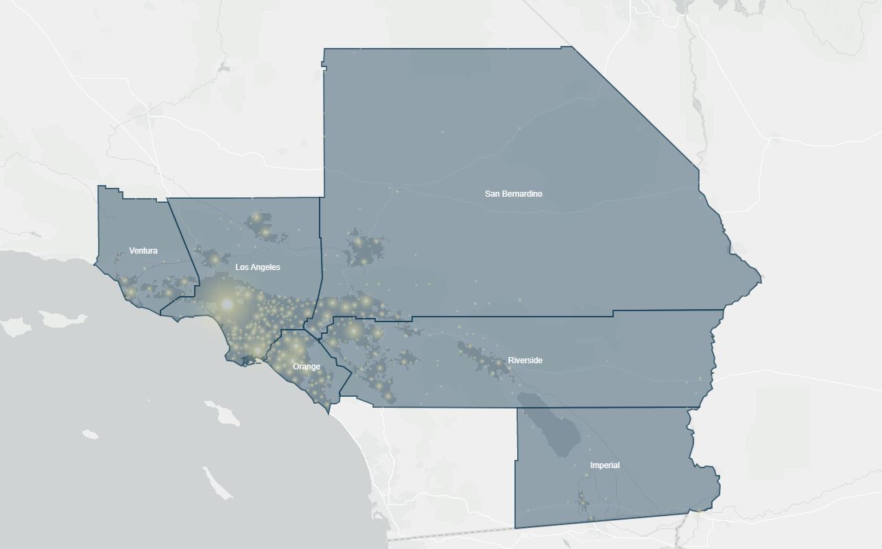
The region's population map


SCAG has embarked on an impressive modernization effort to improve the general plan update process that enables the planning efforts of the 197 county and city agencies to be inputted directly. SCAG and its members will have access to land use, transportation, economic, and housing data, long-range planning tools, and a civic engagement hub. Their strategy uses Esri’s ArcGIS Hub and ArcGIS Urban as mainstays, along with the entire ArcGIS Platform.
SCAG’s strategy seeks to provide the tools and data to all their member jurisdictions, large and small. There is already an excitement coming from every member for the opportunity to improve collaboration and sustainable development. There is a confidence that this effort will result in improved funding prioritization, increased economic mobility, and reverse the undesirable impacts on quality of life citizens experience due to poor design. This SCAG Regional Data Platform will extend the follow benefits to the region.
- Access to open data
- Collaboration and community engagement through an online hub
- Long-range planning tools
- Public survey applications
- 3D and digital twin modeling tools to evaluate development scenarios
- Performance monitoring
As someone that works and lives in the region, I am excited about the potential benefits this program will bring. After all, isn’t this what it’s all about, being connected and concerned about your community? I hope you will join me in watching their progress.
Editor’s Note: If you are a regional government and want to take your organization through a digital transformation, we would love to watch your progress too.