Christy Jacobs
Christy Jacobs is the State GIS Coordinator for South Carolina, bringing over 20 years of geospatial leadership to the role. She previously led GIS programs for the South Carolina National Guard, where she managed enterprise systems, supported mission-critical operations, and ensured compliance with federal standards. She specializes in strategic planning, database management, and cross-agency collaboration, and serves on national committees shaping GIS policy and standards. Christy holds a BA in Geography from the University of Georgia and is certified in Geographic Information Science.
Posts by this author
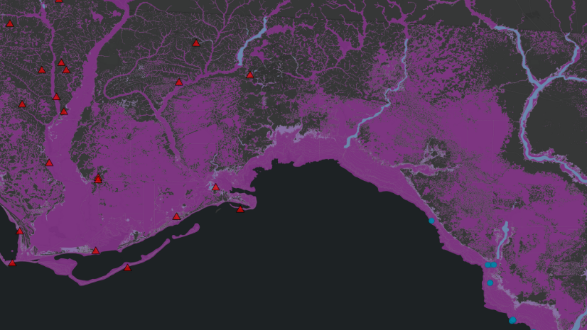
South Carolina National Guard Leverages ArcGIS for Hurricane Recovery Efforts
After struggling to gain understanding of Hurricane Helene, the South Carolina National Guard turned to GIS help make their response efficient.