Linda Foster
Linda Foster oversees Esri’s worldwide strategic vision for land records, cadastre, surveying, and land administration. Long recognized as a champion for bringing GIS and geospatial technologies to unique and challenging situations, she has spent much of her career improving the outcomes of timeless, lands-based challenges. Foster is a registered professional land surveyor and certified GIS professional. She also holds a Bachelor of Science degree in Geological Engineering, and a Master’s degree in GIS from Penn State University.
Posts by this author

New Year, New Parcel Resolution: Migrate to ArcGIS Parcel Fabric
Don't let your current parcel management practices hold your organization back. Now is the time to modernize with ArcGIS Parcel Fabric.

3D Cadastre Front and Center at 2024 IAAO Annual Conference
The plenary keynote at the 2024 IAAO Annual Conference covered 3d cadastre in GIS and how it supports taxation and valuation.

Five Ways Surveyors Can Leverage GIS
Through firm and project management, collaboration, field safety, and drone use, learn how surveyors can leverage GIS to optimize workflows.
Five Tips to Jumpstart Your Parcel Migration to ArcGIS Pro
Be prepared to approach migration to ArcGIS Pro with confidence and complete the process before ArcMap deprecation.

Esri’s LAMP and Trimble Geospatial Support Fit-for-Purpose in Developing Countries Worldwide
Esri & Trimble partner to offer high-accuracy GNSS in LAMP, aiding data collection for land agencies in developing nations.

Enhancing Equity within Land Records
Equity in land records is crucial for accurate land assessments. Learn how GIS technology helps advance equity in this industry.
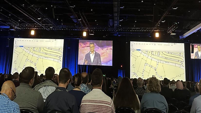
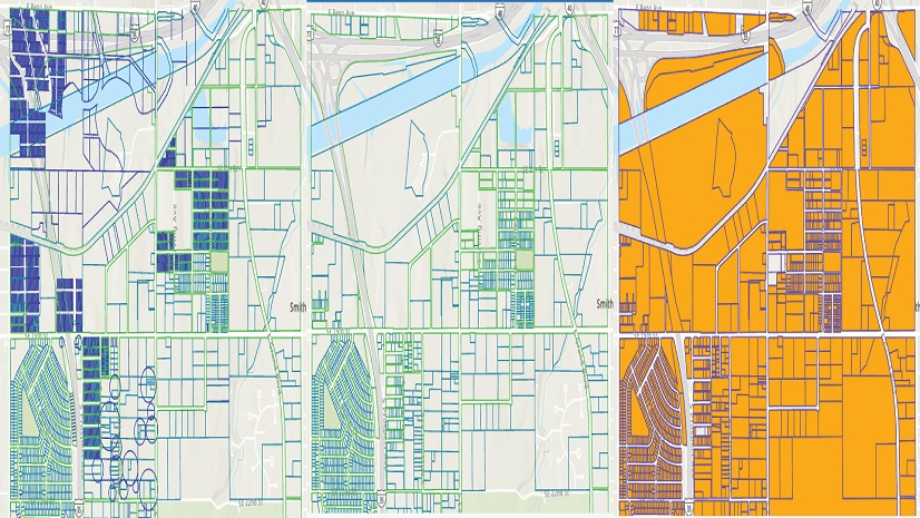
Trends in Land Records 2023 – Parcel Mapping 2.0
Check out Esri's trending topics that were discussed on parcel mapping at the 2023 Esri User Conference (UC).

GIS Enhances Land Surveying Student Competition
24 teams from across the U.S. participated in the National Society of Professional Surveyors (NSPS) annual student competition.

The Five W’s of Right-of-Way and How GIS Can Help You Succeed
Right-of-Way acquisition and management are key for successful infrastructure projects. GIS plays a vital role in supporting these processes.