Marc Goldman
Marc Goldman is the Director of AEC Industry at Esri. He works with a global team to define and deliver the strategy for Esri’s solutions serving architecture, engineering, and construction. He is a leading expert in BIM, GIS, Digital Twins, and their impact on the industry. Marc began his career in the first days of CAD, he led some of the earliest BIM efforts, and he has contributed over thirty years defining, developing, and delivering services and technologies for design, engineering, manufacturing, and construction. He works with an international network of AEC executives creating joint ventures, partnerships, and customer relationships. He was the Vice Chair of the NIBS Digital Twin Integration Subcommittee, the co-Chair of the Digital Twin Consortium AECO group, and supports buildingSMART International on the Steering Committee for the Infrastructure Room and the OGC+bSI Working Group. Many years ago, Marc studied Architecture and Civil Engineering at Tulane University. Currently, when not immersed in the technologies of architecture, engineering and construction, you’ll find him biking, skiing, or flying small aircraft as he’s working on his private pilot license.
Posts by this author

Why AEC Firms Should Move from Desktop Licenses to Named User Licensing for ArcGIS
A practical take on improving project workflows with better licensing .
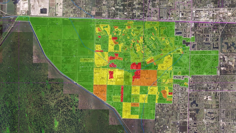
Location Empowers Environmental Consulting: A Journey with Geospatial Solutions
GIS empowers environmental consultants to overcome data silos, ensure compliance, and deliver sustainable, collaborative project solutions.

From Reality to Readiness: A Conversation on Digital Twins, AI, and the Future of Reality Capture
A passionate discussion between Marc Goldman and Matthew Byrd on AEC and geospatial innovation led to insights from a powerful presentation.

Where Geospatial Gets Real: Highlights from the bSI Summit
Highlights of bSI Summit in Singapore with a focus on GIS+BIM integration, interoperability, and geospatial context in digital transformation.

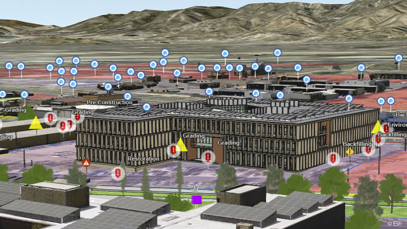
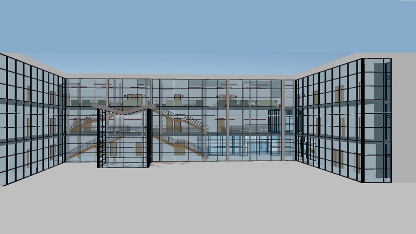
Location Intelligence Digitally Transforming Construction
Esri’s location-intelligent solutions are revolutionizing how construction projects are planned, managed, and executed.

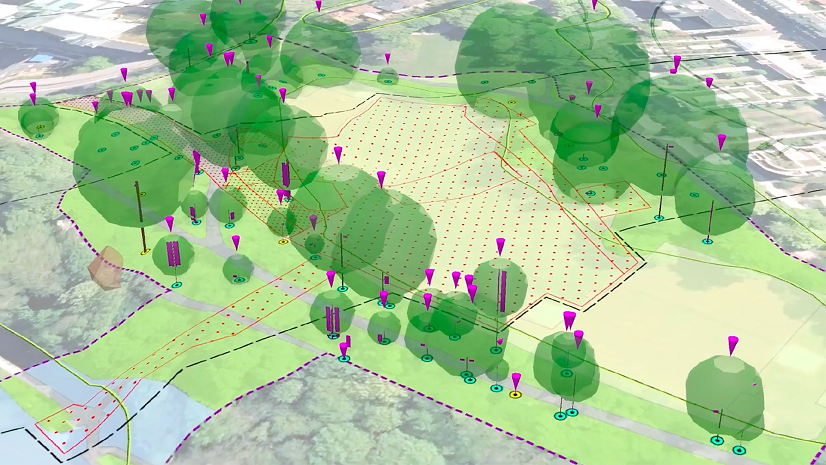
Geospatial benefits in BIM: Esri’s support for buildingSMART International
Esri is progressing the integration of GIS and BIM to promote more resilient cities and smarter infrastructure.
What’s Location Got To Do With It?
Leaders seeking better ways to plan their work integrate Geographic Information Systems (GIS) with traditional project management methods.
Shape the Future of Technology in Built World Projects: Share Your Insights
Participate in an anonymous survey that explores the adoption, challenges, and value of technology in our industry.
Environmental Consulting: Enhancing Communication, Efficiency, and Decision-Making with Esri’s GIS Solutions
Location is central to every stage of a project, making it an essential element in the environmental consulting business.