Rosemary Boone
Rosemary Boone is a Senior Industry Marketing Manager for Esri, concentrating on executing marketing strategies for K-12 schools and higher education institutions. She holds a master’s degree in education technology with an emphasis on multimedia. Prior to her career in marketing, she taught elementary school and taught overseas. In her free time, she likes to listen to music, exercise, and spend time with her two Dachshunds.
Posts by this author

Get Involved, Find a Mentor, Be Your Own Leader, Own Your Career—Advice from a Geospatial Manager
Sid Pandey, URISA VC chair and sr. geospatial technology manager, advises on how to take stock of yourself, find mentorship and own your career.

GIS Coordinator Shares Advice on Career Growth & Building a GIS Division
Zach Jaffe is a GIS coordinator and shares his expertise while giving advice to other young professionals on the value in growing their network.

Senior GIS Specialist Uses Location-Based Technology to Benefit the Local Community
Amanda Hagan's advice to young pros explains her career path from majoring in geography to a senior GIS specialist for Delaware County Planning

ArcGIS Hub Supports GIS Education for University Students and Faculty
YoLani Martin shares her journey in using GIS for humanitarian initiatives and career as a geospatial analyst.

Advice to Young Professionals from a GIS Analyst and URISA Vanguard Cabinet Mentor
Kendal Price provides advice to other young professionals on skills & resources to consider in choosing a college & searching for a GIS career.

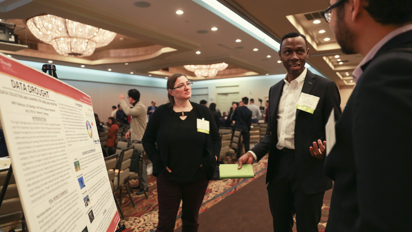
Esri Student Poster Competition Prepares Budding Geospatial Professionals at Los Angeles Geospatial Summit
Each year USC hosts the Los Angeles Geospatial Summit. Three student teams won at the Esri Student Poster Competition at this year's event.

Higher Education Student Examples of Innovative Use of ArcGIS Technology
Students in higher education continue to use GIS and ArcGIS technology for innovative projects across disciplines gaining competitive skills.
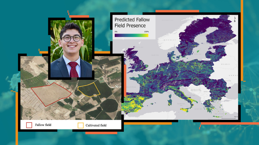
USC Student Wins Discovery Scholar Award Using R-ArcGIS Bridge to Study Land Fallowing in Europe
USC undergraduate student uses R-ArcGIS Bridge with ArcGIS Pro to identify fallow fields using remotely sensed data and soil quality data.
Student Wins LA Geospatial Student Poster Competition on Spatiotemporal Analysis of Snow Crab
This graduate student at USC was selected as one of the winners for the 2021 Los Angeles Geospatial Summit Student Poster Competition.