
Most recent
Building Momentum for GIS + openBIM: What We Heard at the buildingSMART US Roads and Bridges Event
Recap from buildingSMART US Roads & Bridges: how GIS and openBIM together power connected digital delivery for transportation infrastructure.

Esri AEC| December 11, 2024
SCS Engineers's Reporting Transformation
Esri Water|
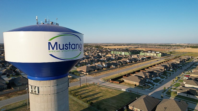
Revolutionizing Water Utility Operations at Mustang Special Utility District with ArcGIS

Imagery Summit Recap: A Panoramic Perspective
Esri Water|
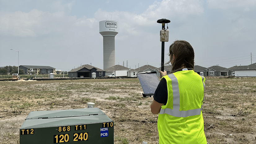
Small City, Big Initiatives: City of Seguin Improves Water and Electric Asset Management with GPS and GIS

Esri at AUSA 2024: Empowering Defense with Data on the Edge

Celebrating GIS Day: A Wildland Firefighter’s Perspective
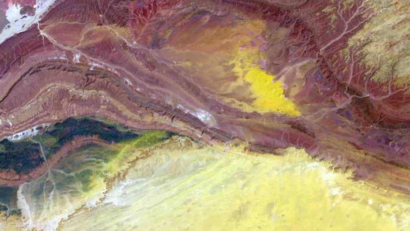
Spectral Profiles: Canserina Kurnia

Advanced Planning and Construction with CIM Integration

A Recap of the Esri Planning Directors Summit
Brooks Shannon|
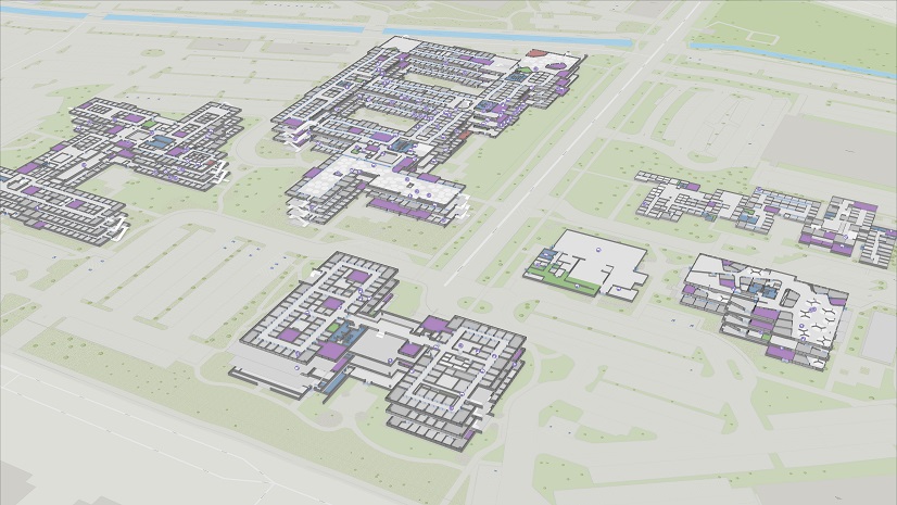
Ten Ways GIS Extends the Value of Indoor Maps and NG911

Dominion Energy Selects EpochField to Improve Inspections
Esri Water|