Most recent
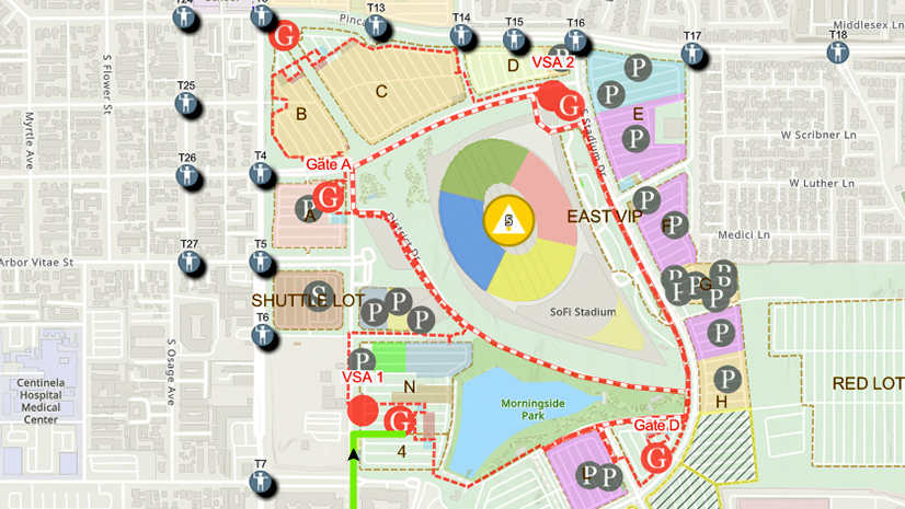
One City, One Common Operating Picture: How Inglewood Used ArcGIS to Support World Cup Operations
As FIFA World Cup 2026 hit North America, Inglewood, CA had its own high-stakes story: how technology helped the city keep pace.
Esri Water|
Modern Data Management Brings Critical Business Systems Together

Securing the Maritime Transportation System: A GIS Concept of Operations

Must See - Autodesk at the UC
Esri Water|
Innovation leads to a State-of-the-Art GIS for a Regional Sewer Utility

5 Resources I Wish I Had Known about before Working at Esri
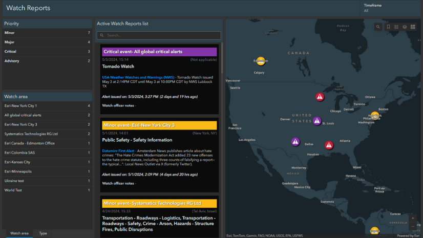
Announcing Esri’s New Watch Center Solution!
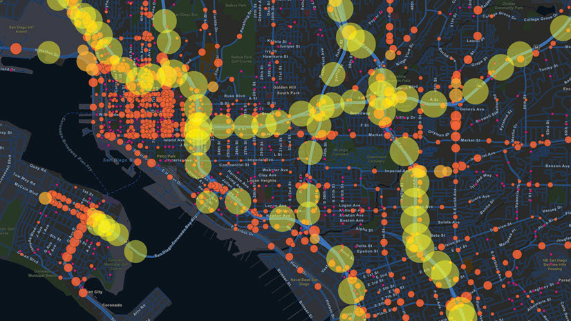
The Public Works Industry at the 2024 Esri User Conference

How-To Blog Series: Sample Justification Language for an ArcGIS Investment Request

The Emergence of GeoAI in Planning

Paper to Polys – Transforming Telecom Infrastructure Records

Multiple Authors|
Excitement Builds for the Esri User Conference in San Diego, July 15-19!
Esri Water|