Most recent
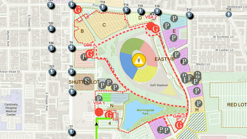
One City, One Common Operating Picture: How Inglewood Used ArcGIS to Support World Cup Operations
As FIFA World Cup 2026 hit North America, Inglewood, CA had its own high-stakes story: how technology helped the city keep pace.
How-To Blog Series: Key Questions to Ask to Obtain ArcGIS Licenses

Architecture and Urban Planning: Empowering Design with Esri's GIS Solutions
How-To Blog Series: HELP! My organization needs immediate assistance, and we don’t have ArcGIS.
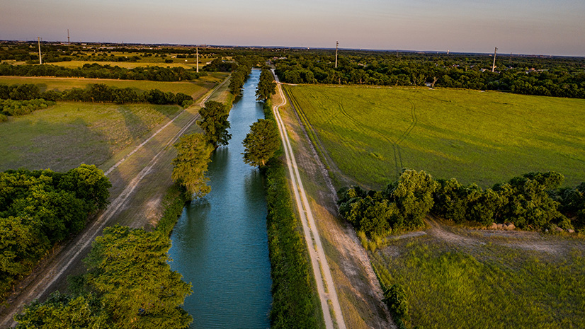
Guadalupe Valley Electric Cooperative Streamlines the Pole Joint Use Process
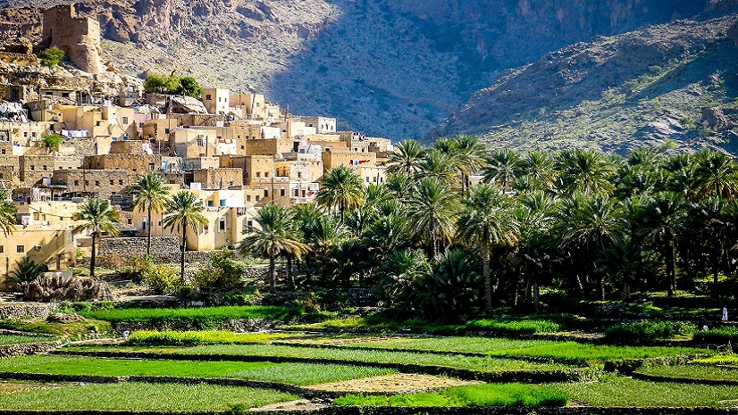
Revolutionizing Telecom with Esri and 3-GIS: A Case Study on Oman Broadband Company

Brian Boulmay| June 8, 2024
From Data to Insights: Harnessing the Spatial Potential of Your OSDU Platform
Esri Water|
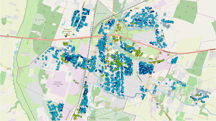
ArcGIS Improves Spatial Analysis at Kretingos Vandenys

Highlights of GEOINT 2024

Five Ways Surveyors Can Leverage GIS
Esri Water|
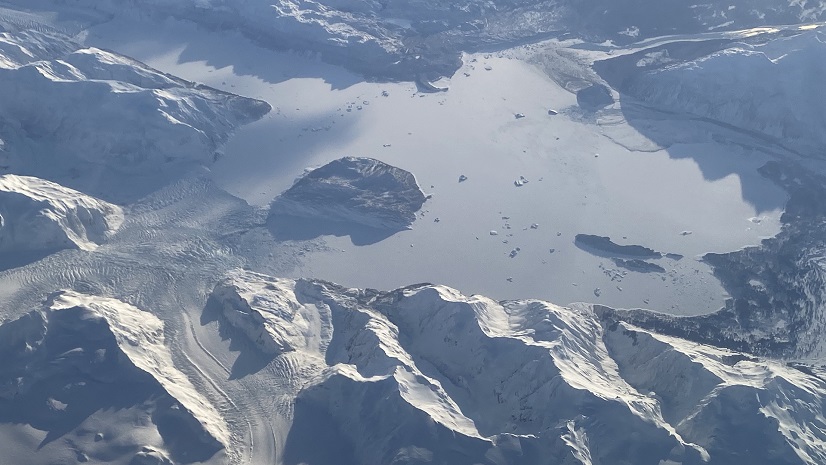
Using Arc Hydro Tools for Elevation-Derived Hydrography in Alaska