Most recent
One Company, Two Utilities: Utility Network Assessment
TXNM combined PNM and TNMP GIS's using the ArcGIS Utility Network.

Using Remote Sensing to Create Foundational Content for Supporting Intelligence Operations
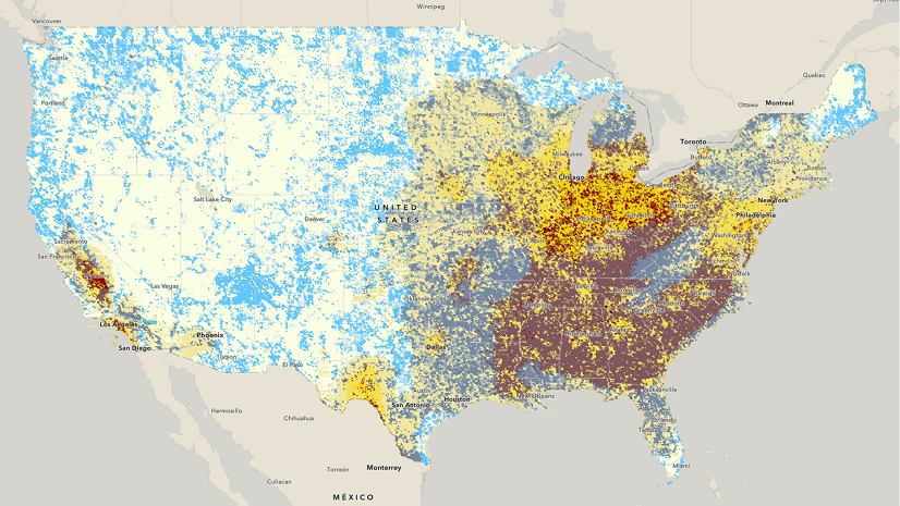
Breathing New Life into Urban Air: Sparrow’s Journey to Cleaner Cities
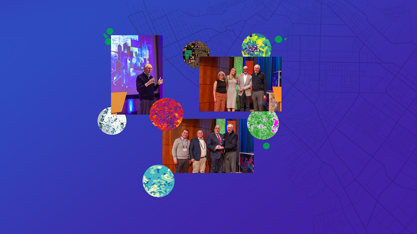
That’s a Wrap: Lessons Learned at the 2024 Esri Public Sector CIO Summit
Esri Water|
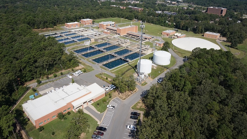
GIS Touches Every Aspect of Central Arkansas Water

Addressing Malaria and Other Vector-Borne Diseases through GIS: Insights and Resources

Multiple Authors|
Earth Day 2024: Embracing the 30x30 Initiative
The Power of GeoAI Accelerates Action on this Earth Day
Esri Water|
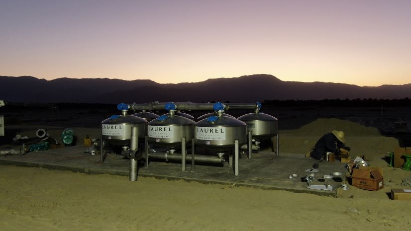
Laurel Ag & Water Streamlines Field Data Collection and Standardizes Operations

GIS – Uniting Our World: Health Highlights at Esri UC 2024
The State of Retail Tech
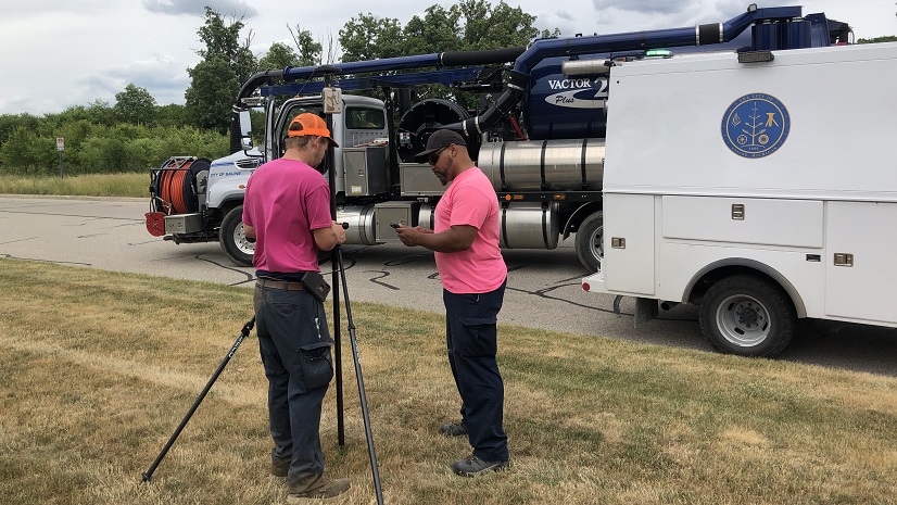
Top 5 Tech Trends in Public Works & The Role of GIS