Most recent
One Company, Two Utilities: Utility Network Assessment
TXNM combined PNM and TNMP GIS's using the ArcGIS Utility Network.

The Emergence of GeoAI in Planning
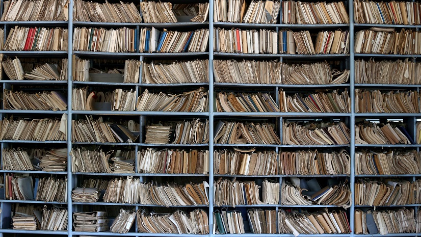
Paper to Polys – Transforming Telecom Infrastructure Records

Multiple Authors|
Excitement Builds for the Esri User Conference in San Diego, July 15-19!
Esri Water|
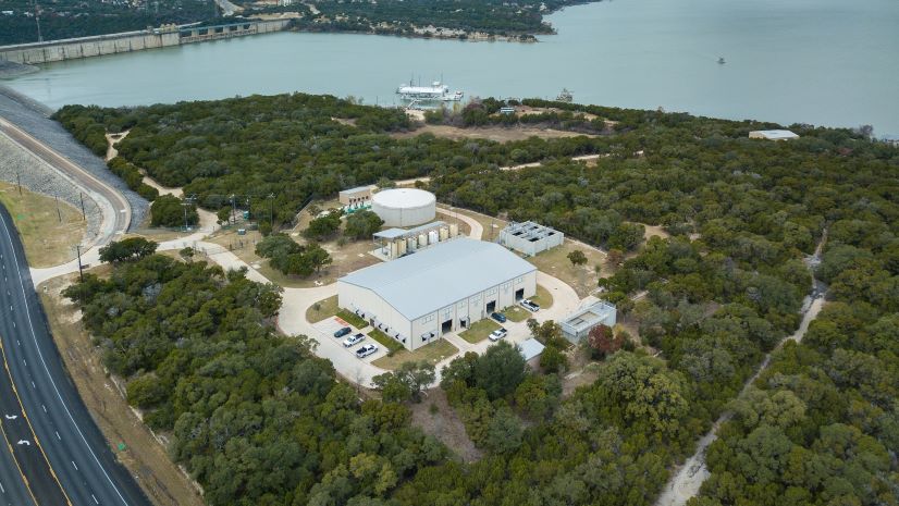
Modernized Operations Improve Efficiency and Data-Driven Decisions for a Growing Water District
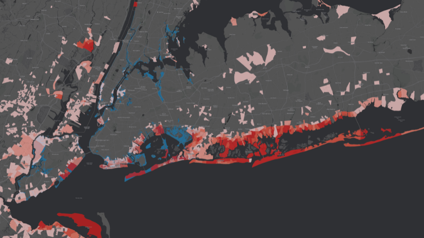
How-To Blog Series: Key Questions to Ask to Obtain ArcGIS Licenses

Architecture and Urban Planning: Empowering Design with Esri's GIS Solutions
How-To Blog Series: HELP! My organization needs immediate assistance, and we don’t have ArcGIS.
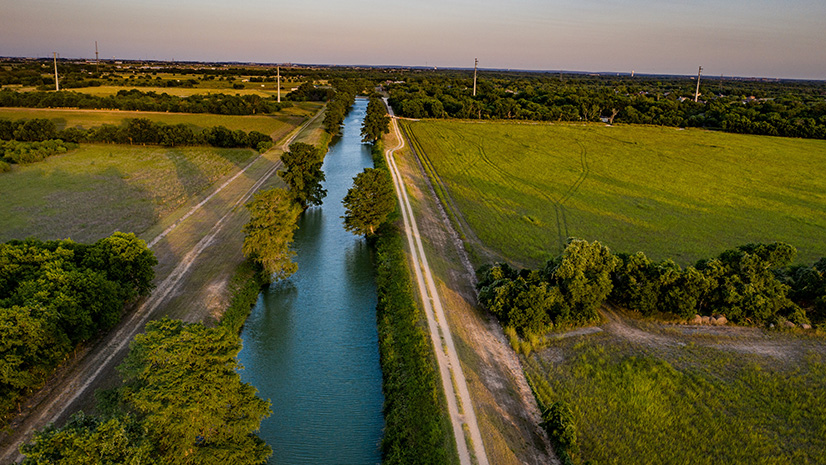
Guadalupe Valley Electric Cooperative Streamlines the Pole Joint Use Process
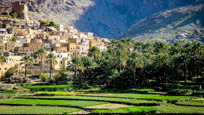
Revolutionizing Telecom with Esri and 3-GIS: A Case Study on Oman Broadband Company

Brian Boulmay| June 8, 2024
From Data to Insights: Harnessing the Spatial Potential of Your OSDU Platform
Esri Water|
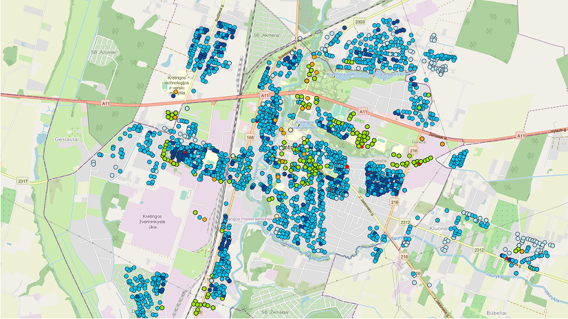
ArcGIS Improves Spatial Analysis at Kretingos Vandenys