
Most recent
One Company, Two Utilities: Utility Network Assessment
TXNM combined PNM and TNMP GIS's using the ArcGIS Utility Network.

Esri AEC|
Digital Forms for Water Quality Assessment and Informed Decision-Making

Understanding Rural Broadband Deployment: The Role of ArcGIS in Navigating Potential Impacts
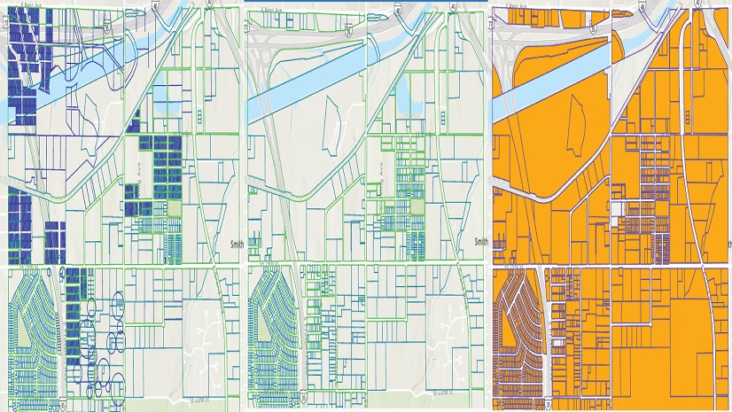
Five Tips to Jumpstart Your Parcel Migration to ArcGIS Pro

Esri AEC|
GIS Solutions Fuels Paperless Construction Inspections
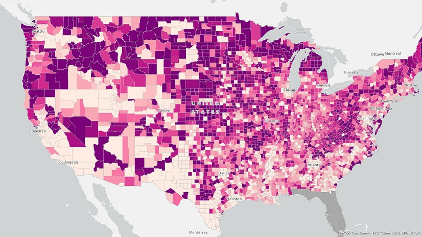
In Observance of World Cancer Day: Emphasizing Context in Cancer Care

Accelerating Broadband Deployment With Esri and Sitetracker

Unlocking Success: The Power of Esri's ArcGIS in Digital Transformation

Revolutionizing Connectivity: How Emerald Broadband Empowers Communities with Esri and 3-GIS
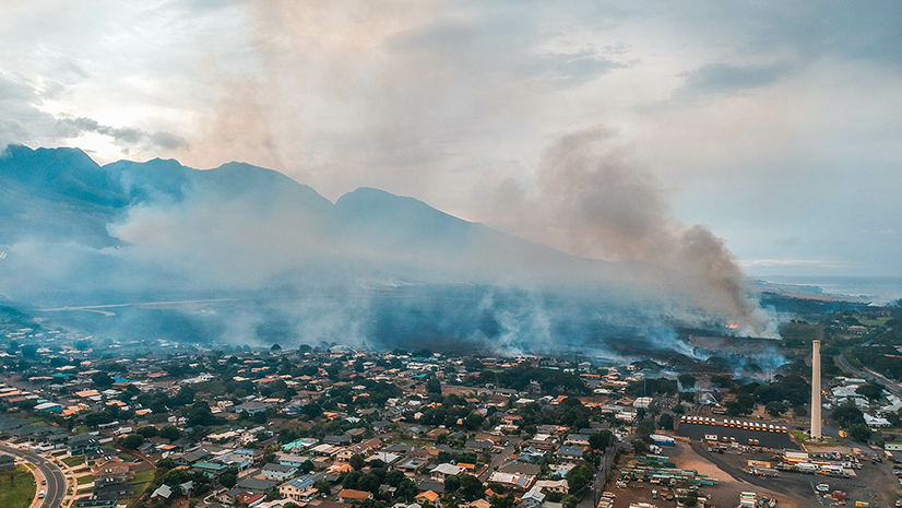
Revolutionizing Evacuation Planning: Addressing the Challenges in Wildland Fire Response

Multiple Authors| January 17, 2024
Enhancing Equity Across Transportation Systems with GIS
Esri Water|
City of Plano, Texas, Inventories 81,000 Plus Water Service Lines to Meet LCRR Requirements and Inform Residents
Esri Water|