
Most recent
One Company, Two Utilities: Utility Network Assessment
TXNM combined PNM and TNMP GIS's using the ArcGIS Utility Network.
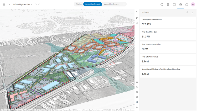
Designing a Fiscally Resilient City with ArcGIS Urban
Multiple Authors|
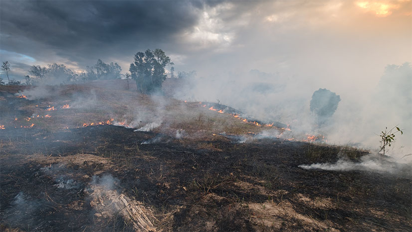
GIS and Artificial Intelligence for Precise Damage Assessments
Esri AEC|
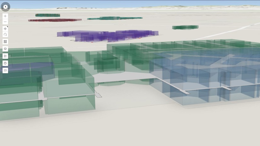
Improving Space Planning and Resource Optimization

Ignoring Business Resilience Can Ruin your Holiday Season
Esri Water|
Implementing a Spatially Enabled Approach to Operational Efficiency Using ArcGIS Enterprise

Multiple Authors|
Using GIS to Bridge Asset Management and Customer Care
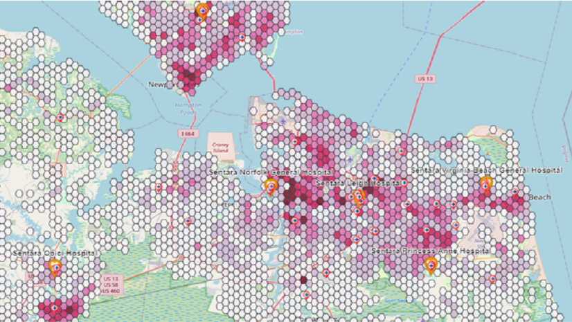
Ricklyn Hukriede| November 14, 2023
Navigating Strategic Marketing with GIS: Ricklyn Hukriede's Transformative Journey with Esri’s ArcGIS Tools
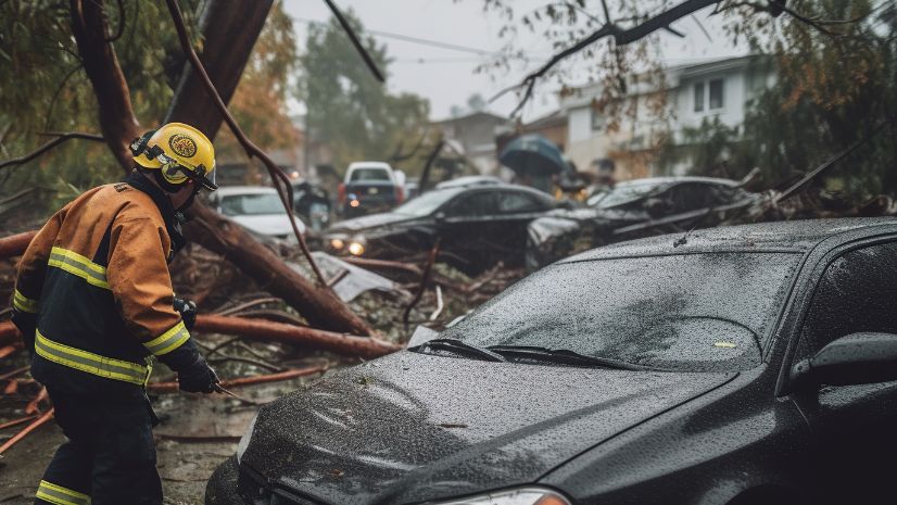
An Update to Esri’s Damage Assessment Solution
Have you seen Esri’s new Emergency Management Operations solution?
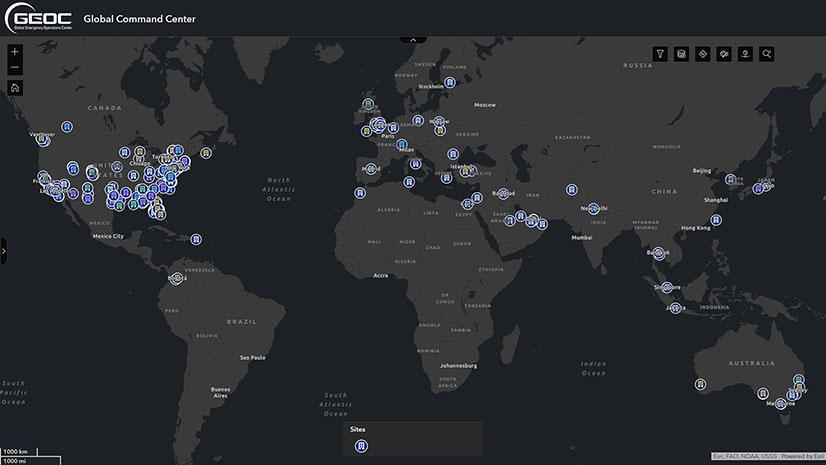
Building Resilience with GIS and a New Era of Proactive Threat Management
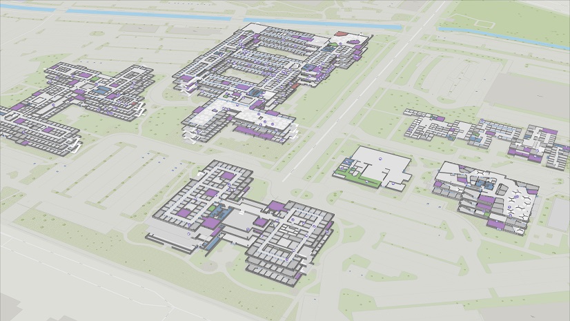
The importance of GIS for Design-Build – Observations from the DBIA Conference
Esri AEC|