Most recent
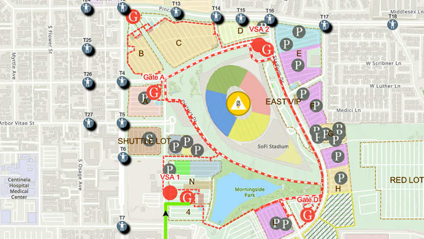
One City, One Common Operating Picture: How Inglewood Used ArcGIS to Support World Cup Operations
As FIFA World Cup 2026 hit North America, Inglewood, CA had its own high-stakes story: how technology helped the city keep pace.

Esri Water|
Implementing a Spatially Enabled Approach to Operational Efficiency Using ArcGIS Enterprise

Multiple Authors|
Using GIS to Bridge Asset Management and Customer Care
Ricklyn Hukriede| November 14, 2023
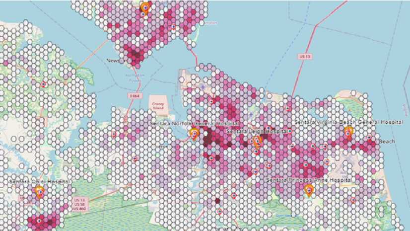
Navigating Strategic Marketing with GIS: Ricklyn Hukriede's Transformative Journey with Esri’s ArcGIS Tools
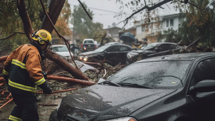
An Update to Esri’s Damage Assessment Solution
Have you seen Esri’s new Emergency Management Operations solution?
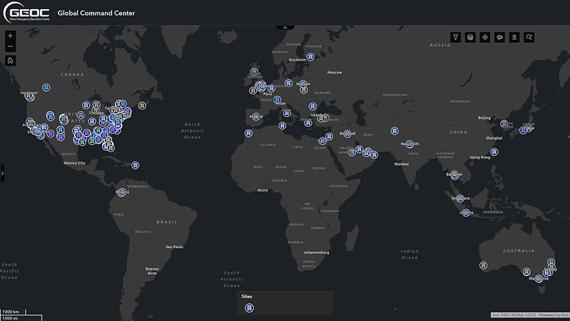
Building Resilience with GIS and a New Era of Proactive Threat Management
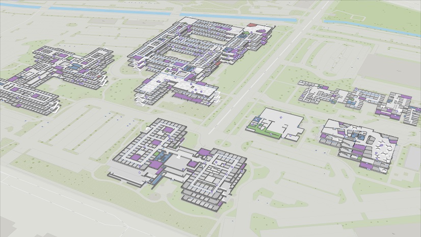
The importance of GIS for Design-Build – Observations from the DBIA Conference
Esri AEC|
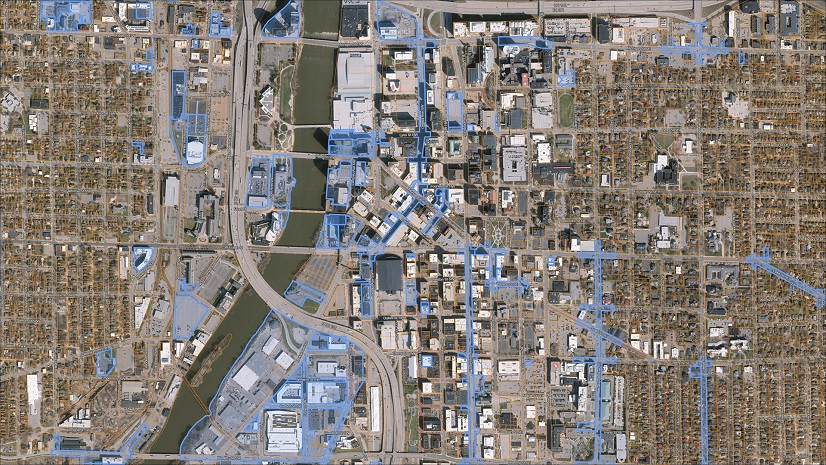
Streamlining Survey Project Management with ArcGIS Experience Builder
Esri AEC|
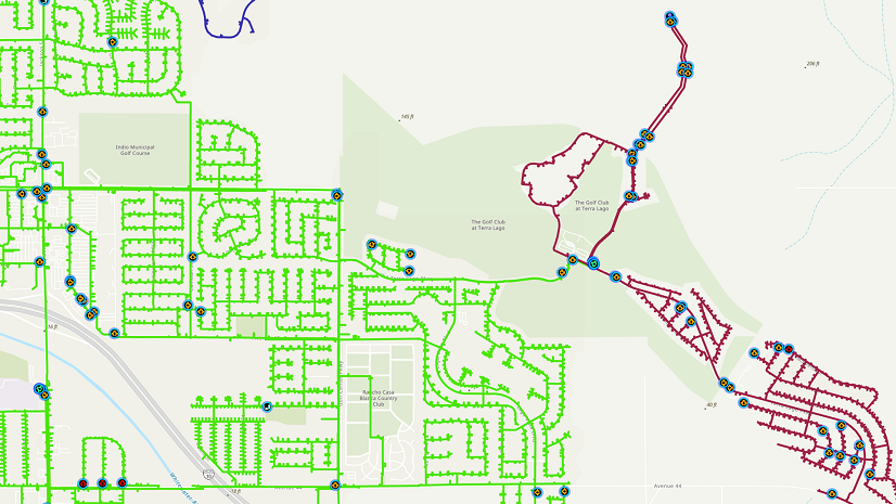
GIS Modernization at Indio Water Authority (IWA)

Multiple Authors|
Key Takeaways from the US Fire Administrator’s Summit 2023

APA’s Passport Taking a Geographic Approach to Learning