Most recent
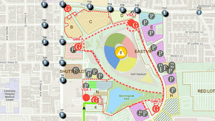
One City, One Common Operating Picture: How Inglewood Used ArcGIS to Support World Cup Operations
As FIFA World Cup 2026 hit North America, Inglewood, CA had its own high-stakes story: how technology helped the city keep pace.
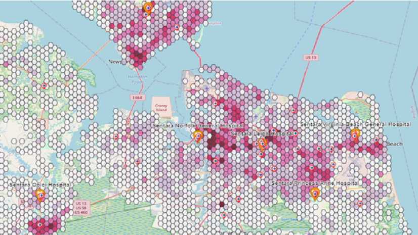
Applying GIS for Enhancing Network Health & Equity
Esri AEC|
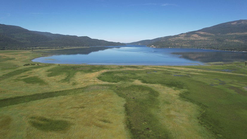
Swan River National Wildlife Refuge Wetland Restoration Project
Esri AEC|
Stormwater Construction Activity Management for Bus Rapid Transit

Creating Local Capacity in Community Disaster Resilience Zones
Esri Water|
Cary Utilities Department Uses Predictive Modeling to Determine Service Line Material

Esri AEC|
Empowering Concord Township with GIS Solutions
Recap: buildingSMART Fall Summit 2023 - Shaping the Future of Open Data Standards for the Built Environment
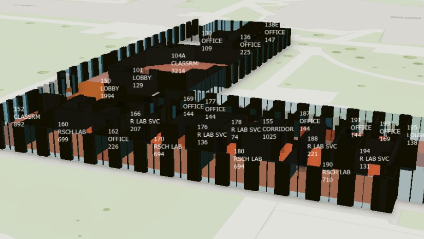
Replacing a Legacy CAFM System with ArcGIS Indoors

2023 Esri Infrastructure Management & GIS Conference

RSR Research: Agility, Resiliency, And Sustainability As A Strategy in Consumer-Facing Business
Multiple Authors| September 21, 2023
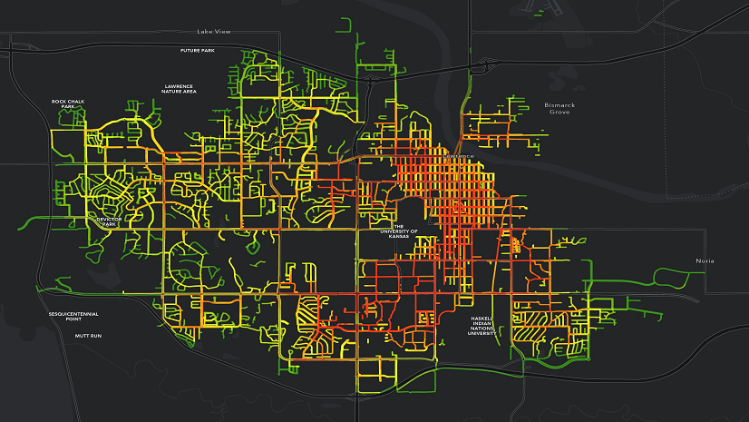
Enhancing Equity Across Public Works