
Most recent
Esri at the 2026 National Recreation and Park Association (NRPA) Conference
Visit Esri at NRPA 2026 in Philadelphia and discover GIS solutions for smart parks and recreation.

Patrick Huls|
Digital Twins, where GIS and Reality Capture come together

New Data Hub Improves the Features of over 250 Datasets

Yasaman Kazemi|
Four Steps to Get Started with Supply Chain Sustainability

Leveraging Conservation Technologies to Protect the Places We Love
Multiple Authors|
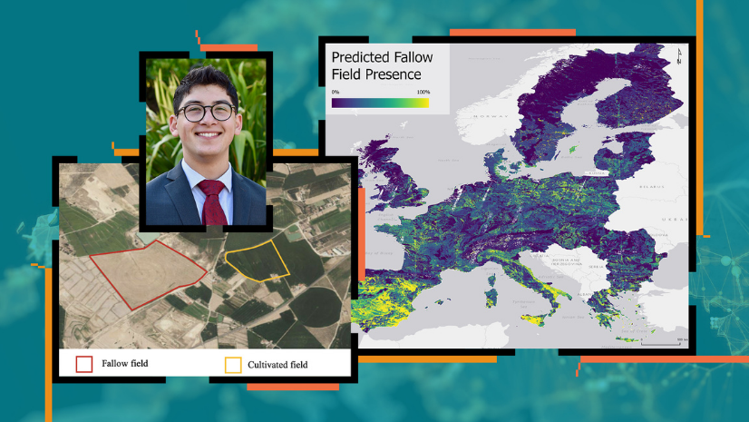
USC Student Wins Discovery Scholar Award Using R-ArcGIS Bridge to Study Land Fallowing in Europe
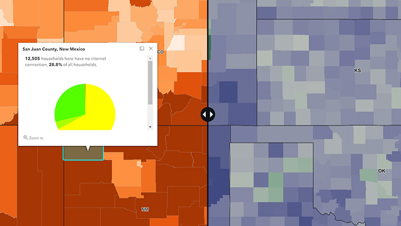
Maps Are a Change Agent's Best Friend

ArcGIS – A Foundation for Operations Excellence

A School District Leads the Way
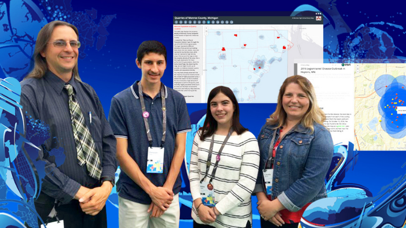
GIS Competition for Schools Blooms Despite Pandemic
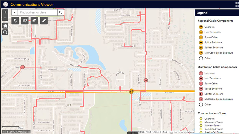
Telecommunication: Getting Started with a System of Engagement
Multiple Authors|
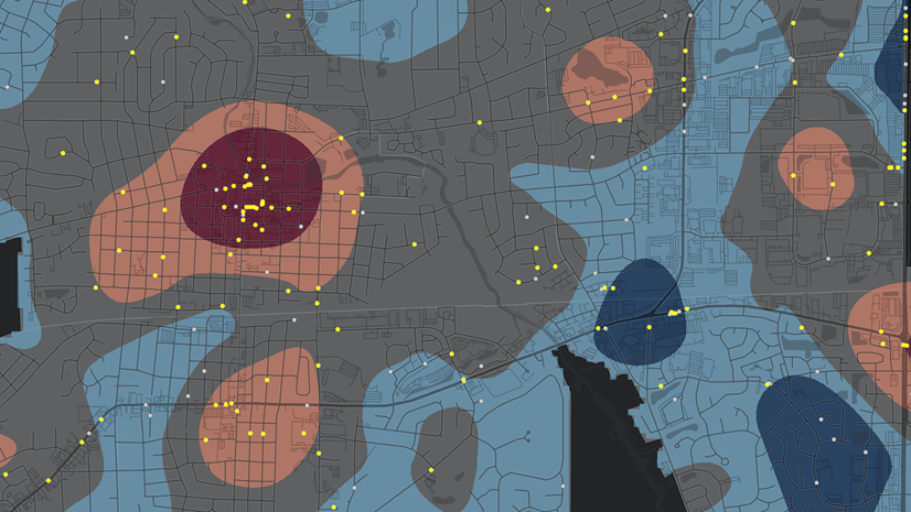
Mapping Crime Counts and Percent Change
Christa Campbell|