
Most recent
Esri at the 2026 National Recreation and Park Association (NRPA) Conference
Visit Esri at NRPA 2026 in Philadelphia and discover GIS solutions for smart parks and recreation.

Higher Education Student Examples of Innovative Use of ArcGIS Technology

Matt Piper|
IoT and GIS—Creating the Nervous System for Digital Twins
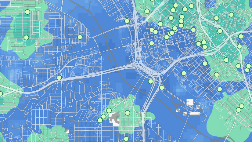
Creating Competitive Advantage with Location-Aware Processes

Christa Campbell|
Enabling Real-Time Information: Bridging the Dark Data Gap

Multiple Authors|
Pipeline SIG - Esri UC 2021

Suitability Analysis Made Easy for Planners

Recent Graduates Discuss the Skills and Technologies You Should Focus on in This Q&A
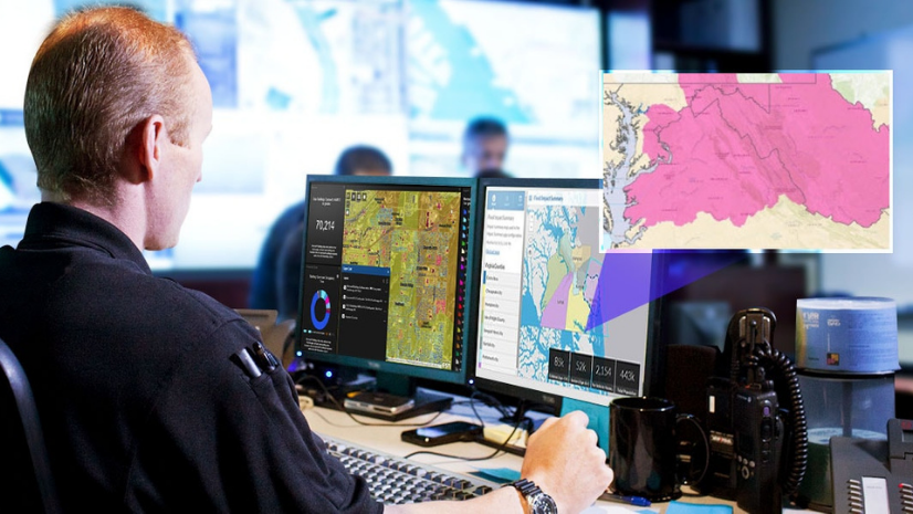
A National GIS Standards Vision for PSAPs

2021 Esri UC Science Recap: Dawn Wright at UC Central Live and Esri Science Symposium with Dr. Healy Hamilton

Teaching Programming for GIS, Part 2: Web Programming
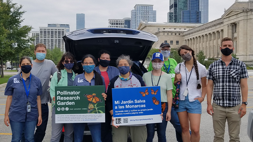
Esri User Conference 2021 for Nonprofits & NGOs
Multiple Authors|