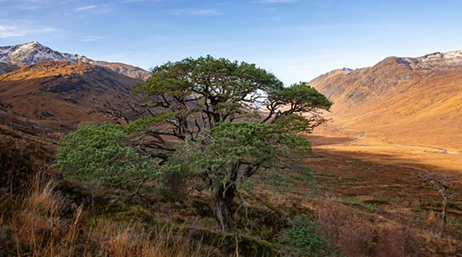
Mapping guides rewilding in the Scottish Highlands
Trees for Life gathers knowledge to guide the careful and long-term work of recultivating nature for the benefit of humanity and the environment.
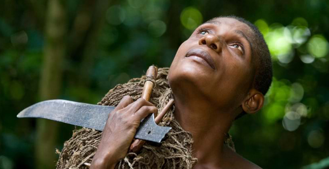
The Baka people’s collaboration with researchers has revealed the complexities of the forest—aiding conservation and discovery.
Mapping guides rewilding in the Scottish Highlands

Map fights trade of world's most trafficked mammal
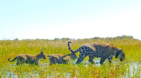
Smart maps guide jaguar conservation in Argentina
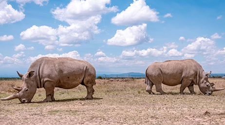
Real-time monitoring protects rhinos in Kenya
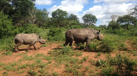
Rangers use mobile apps to help rhinos thrive
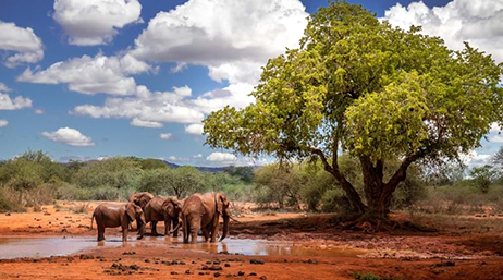
Mapping a solution to human-elephant conflict
Join colleagues and peers in San Diego, July 13–17, 2026, for the 2026 Esri User Conference. Learn, reconnect, and take a deep dive into the latest advances in geographic information system (GIS) technology.

There are numerous pathways to build up your ArcGIS expertise. ArcGIS tutorials are modular, self-paced training exercises that focus on specific conservation methods and technologies. For a more formal instructor-led experience, the Esri training team offers traditional virtual and in-person courses. Esri training consultants provide complimentary planning services to identify options that will best meet an organization's immediate, short-term, and long-term workforce training needs.

Join the geospatial conversation, ask your questions, or browse the forums.

For more than three decades, the Esri Conservation Program has provided technology and training assistance to conservation professionals around the globe.