ArcGIS Solutions for fire service
ArcGIS Solutions is helping fire departments become more resilient, develop plans, and respond to emergencies.

ArcGIS is built and proven on fixed and mobile broadband networks
Whether you use a preemptive broadband network all the time or only in major events, Esri solutions are proven in the networks, including both fixed and portably deployed. Governments lean on Esri for asset tracking and field collection or to monitor data like weather, social media, and traffic.

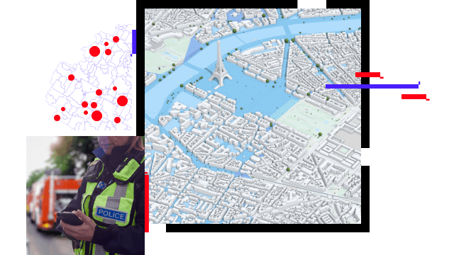
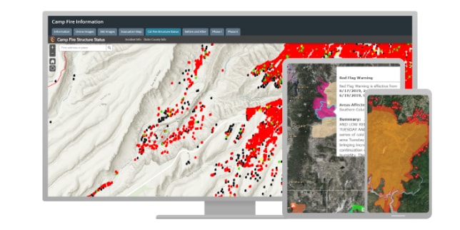
Without situational awareness, changing conditions can negatively impact your decisions. Esri provides real-time data, like traffic and weather, enabling you to securely share and integrate information. Improve workflows with tools that can help leverage resources and save lives.

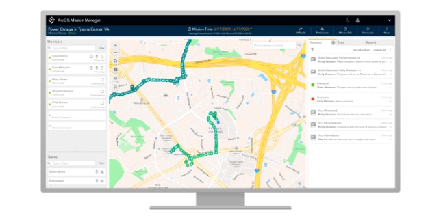
With ArcGIS, you can consume and analyze information, including real-time sensor data. Your data can be shared through ArcGIS Enterprise portal, the web, or hybrid configurations. Securely protect your information while providing the public with important details.

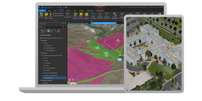
ArcGIS allows you to visualize and analyze data geographically. Enhance your data with Esri's collection of global information, and use ArcGIS to accurately measure, spot patterns, and identify relationships. You can also plan routes and perform site analysis.
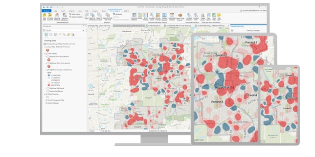

Use the power of location to improve coordination and operational efficiency in the field. Decrease or even replace reliance on outdated paper intelligence while ensuring tasks are completed using safe, authoritative data to reduce errors.
Sign up to receive the latest news, updates, and helpful tips for state and local government professionals.