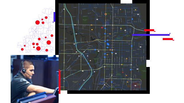
Locate callers anywhere
Calls to 911 can originate anywhere. Nearly 90 percent of calls to 911 in the United States are placed from cell phones, and 80 percent have Z-axis data. GIS can translate this information into dispatchable addresses and help first responders pinpoint caller locations within a building. When combined with detailed 2D and 3D maps, this intelligence can dramatically reduce response times.


