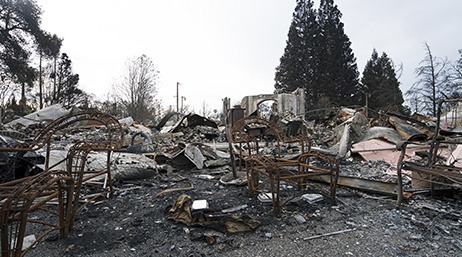
Reducing the impacts of urban fires and wildfires
Industry Blog
Attendees at the Eastern Mediterranean Wildland Urban Interface Symposium discussed challenges faced by fire agencies in the US and Europe.
Explore resources for public safety agencies and connect with industry experts.
Learn how Henrico County Division of Fire uses ArcGIS Online to manage NASCAR event incidents.

Reducing the impacts of urban fires and wildfires
Industry Blog
ArcGIS and GPS change location sharing in the wild
Industry Blog

Frisco, Texas creates a public safety digital twin
Esri Blog

Lessons in Search and Rescue from Hurricane Ian
Esri Blog
Preparing Your Fire Department for NERIS
Industry Blog
Community Risk Reduction
Video
Achieving "zero fire incidents" with incident data
User Story
Join the geospatial conversation with others in the global community of Esri users. Find solutions, ask questions, share ideas, or browse the forums and collaborate to solve problems with GIS.

Instructor-led and self-paced options help individuals apply best practices and quickly learn ArcGIS software. Esri offers these ArcGIS courses, designed for public safety workflows, to help you gain deeper insight into your organization's data for making well-informed decisions.

Safety and Security Summit @Esri UC | Access the proceedings and save the date

Esri partners offer specialized solutions built on ArcGIS to solve your real-world challenges.
Speak with a representative.