Esri GIS supports the intelligence planning phase of the intelligence cycle with tools that help you understand collection requirements for current and planned disposition of assets. As intelligence is collected, ArcGIS provides a multi-intelligence environment for integrated collection across all five intelligence disciplines.
Integrated intelligence solutions for planning and collection
Location-based planning
Intelligence collection
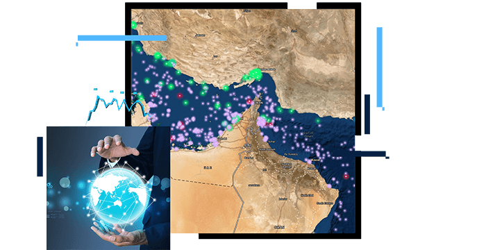
Location-based requirements analysis
ArcGIS allows managers to understand intelligence requirements and collection capabilities using time and space. In addition, ArcGIS provides access to known information for research prior to tasking new intelligence collection. Using geography to organize intelligence helps integrate multiple sources and create a true multi-intelligence collection plan.
Integrated intelligence collection
ArcGIS provides tools for normalizing and structuring raw intelligence data from a variety of sources, allowing information to be integrated as soon as it is collected. ArcGIS also provides a spatiotemporal data store that can be accessed by anyone in an organization, making real-time integration of intelligence sources possible.
BLOG
US Border Patrol finds new ways to rescue migrants
Cataloging asset locations helps US Border Patrol find missing migrants quickly, and an enterprise approach speeds data sharing.
Read the article
USER STORY
Gaining real-time event awareness for Final Four
Mobile apps and online dashboards enhanced information sharing, incident reporting, and real-time situational awareness in San Antonio, Texas.
Read the story
Products for planning and collection
Esri GIS provides transformational technologies for intelligence organizations. ArcGIS software offers an open platform for leveraging advanced methodologies, innovative tools, and configurable applications.