
ESRI BLOG
Singapore builds a massive maritime spatial atlas
A massive spatial atlas of Singapore’s coastline is now a crucial tool for officials and scientists to understand the impacts of climate change.
Explore resources for national maritime and hydrographic organizations and connect with industry experts
Chart production is becoming an electronic-first endeavor, where all the data is pulled from one standardized, GIS-based system.
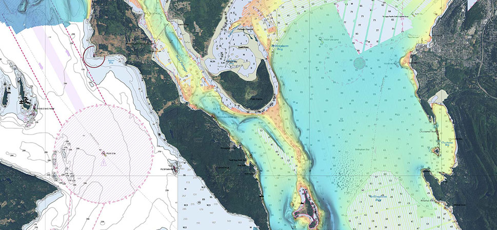
Singapore builds a massive maritime spatial atlas
Malaysia's 2021 SAG Award winner
Singapore's 2021 SAG Award winner

The World of Sunken Ships
Join the geospatial conversation, ask your questions, or browse the forums.

National maritime and hydrographic authorities need to stay up-to-date with the latest national modernization trends, technology, and information. Attend one of our informative webinars or speak to one of our national maritime industry experts at an event.

Instructor-led and self-paced options help individuals apply best practices and quickly learn ArcGIS software. Esri training consultants provide complimentary planning services to identify options that will best meet an organization's immediate, short-term, and long-term workforce training needs.