
Vibrant green line

Economic Development

Build stronger local economies with ArcGIS

Use Esri’s economic development software to understand community needs, support businesses, and make location-informed decisions that drive economic growth.

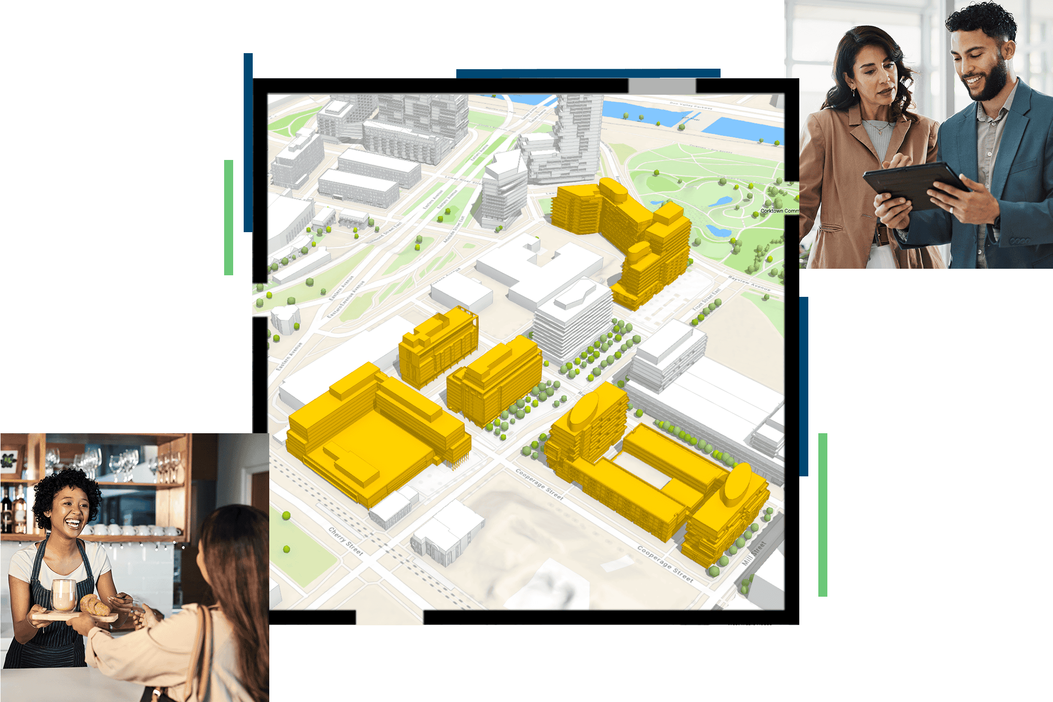
A 3D map showing highlighted buildings alongside photos of people collaborating

Every economic development decision is tied to place

Businesses choose locations based on workforce availability, infrastructure, housing, transportation, and markets. ArcGIS is economic development technology that helps organizations understand these factors, identify opportunities, and develop a stronger economic development strategy that’s supported by data.

GUIDE

Turn geographic data into economic growth

Learn how economic development organizations use GIS to attract investment, support businesses, evaluate community needs, improve quality of life, and plan for the future.

Explore strategies, best practices, and real-world examples from communities using ArcGIS to strengthen their economies.

A 3D map of a city with colorful buildings and highlighted routes through an urban area

Our community

Explore stories, best practices, and conversations focused on economic development strategy, workforce development, business attraction, community planning, and other issues shaping state and local government.

Three people working together around a laptop in a shared workspace

Frequently asked questions

Find answers to common questions about using ArcGIS for economic development.

Economic development software helps organizations manage information, evaluate opportunities, and support economic development initiatives.

Common uses include:

  • Tracking development programs and projects
  • Managing business and property information
  • Analyzing workforce, housing, and economic data
  • Measuring outcomes such as job creation and economic growth

ArcGIS helps organizations bring together data from across the community to support planning and decision-making.

Many organizations use mapping tools, data analytics, dashboards, business intelligence systems, and geographic information system (GIS) technology.

ArcGIS combines mapping, analysis, data management, and visualization in a single system to support planning, investment, and policy decisions. This technology helps organizations understand how workforce, housing, infrastructure, and market conditions vary across a community so they can make more informed economic development decisions.

GIS and economic development are closely connected because location influences where businesses invest, where people live and work, and where public resources are needed most.

With ArcGIS, organizations can:

  • Identify areas with growth potential
  • Analyze workforce and market conditions
  • Evaluate housing and infrastructure capacity
  • Compare conditions across neighborhoods and regions
  • Communicate opportunities and challenges through maps and dashboards

By adding geographic context to data, GIS helps organizations understand not just what is happening, but where it is happening and why it matters.

Economic development directors, managers, researchers, analysts, community development professionals, and elected officials use economic development software. State agencies, counties, cities, regional development organizations, and chambers of commerce use ArcGIS to support business development, workforce development, community planning, and other economic priorities.

Economic development software helps organizations bring information together in one place.

With ArcGIS, organizations can:

  1. Collect data from multiple sources
  2. Analyze information in a geographic context
  3. Evaluate potential impacts
  4. Track outcomes over time

This supports decisions related to economic growth, job creation, workforce development, and long-term community goals.

When you’re evaluating economic development software, look for technology that helps your organization understand community conditions, identify opportunities, and support informed decision-making.

Key capabilities include:

  • Mapping and geographic analysis
  • Data management and visualization
  • Demographic, workforce, and market analysis
  • Dashboards to monitor performance and outcomes
  • Collaboration and information sharing across departments
  • The ability to combine data from multiple sources in one system

ArcGIS provides these capabilities in a single GIS-powered platform, helping organizations analyze community needs, support businesses, and plan for sustainable economic growth.

Contact Sales

Please share your information and our sales team will contact you soon. We look forward to communicating with you.