Gain a new perspective on your mission with GIS
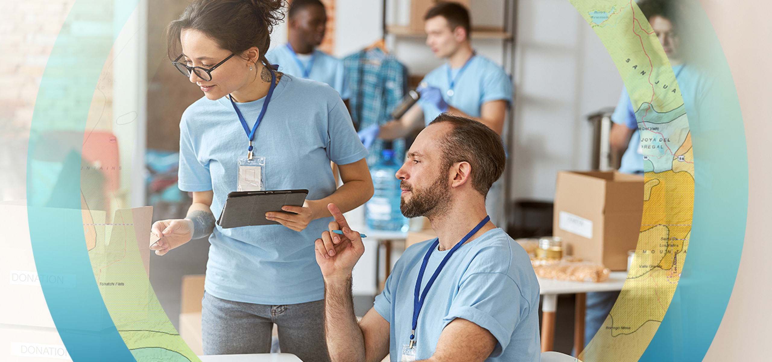
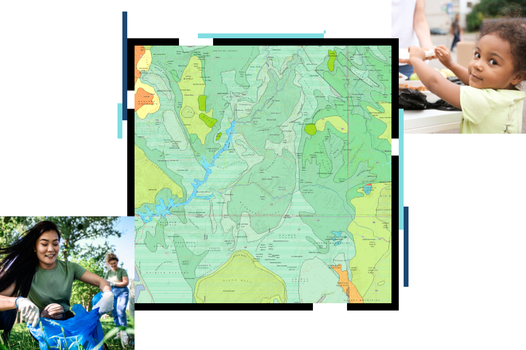
Nonprofit organizations can apply a geographic approach to everything they do. GIS technology allows staff and volunteers to connect data based on geography and apply spatial thinking to decision-making. This unique perspective on creating, managing, analyzing, and mapping all types of data empowers teams to better communicate causes, understand communities, act on missions, and measure impacts. Use cloud-based and cost-effective tools to extend services, attract volunteers, expand and manage donor networks, and shape public policies.

Nonprofit and NGO focus areas
Upcoming event
Esri User Conference | July 14–18, 2025 | San Diego Convention Center | San Diego, California

Our community
Stay updated on the good work nonprofit organizations and NGOs are doing to support positive change. Learn how organizations of all sizes around the world apply GIS to advance their missions and create a just, sustainable, and peaceful world where everyone can thrive.

Initiatives that support nonprofits and NGOs
Sustainable Development Goals
Collect, analyze, and share SDG data for planning, policymaking, and decision-making with GIS.
Humanitarian Assistance
Prepare, manage, and deliver effective humanitarian assistance programs with GIS.
Conservation
Preserve biodiversity with GIS.
Racial Equity
Advance racial equity and social justice with GIS.
Esri Nonprofit Organization Program
The Esri Nonprofit Organization Program provides nonprofit organizations with low-cost access to GIS software, training, content, and other resources. Join a vibrant community of nonprofits around the globe working to create a better world.

