Skip to Content

Dissemination and Collaboration

Use GIS to create the information products your users need

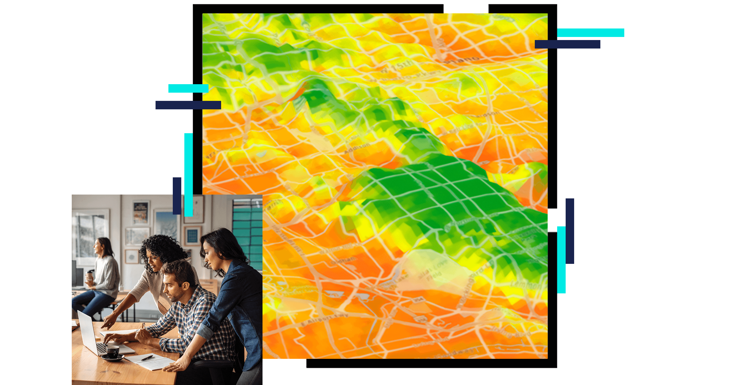
A gridded heat map of a hilly area in green, yellow, and orange, overlaid with a photo of three casually-dressed people in an office environment grouped around a laptop in discussion

Organizations today need to maximize engagement. NSOs need to consider the many different types of user requirements when planning their data dissemination strategies. If you need to report on key indicators or United Nations (UN) Sustainable Development Goals (SDGs), create policy maps, or produce press briefings or media kits, you can use GIS to create the information product you need, share data, enable collaboration, track initiatives, inspire action, and create vibrant communities. 

Meeting the data needs of your users

Data that works

Whether sharing data inside of your organization to improve efficiencies or sharing your authoritative data with the community, ArcGIS provides the tools you need. Esri provides a way to store, manage, discover, and share data while it remains in a secure environment. You determine what information is provided to users within or outside your organization. In the cloud or on-premises, your information can be shared with ease and peace of mind. Share your data with decision-makers, staff, and the public.

A photo of two casually-dressed people in an office seated in front of a bright window, facing a person in the foreground holding a tablet displaying a map

Tools to manage, enhance, and share your data

Organizations are working with more data than ever. From imagery to 3D, real-time data, and big data, the volume and types of data are constantly increasing. We understand that data comes from all types of sources. Whether it's statistical data, GIS data, or even sensor data, you can organize and manage it from anywhere with ArcGIS. Empower your team to make decisions and enhance productivity across your organization. Make ArcGIS the center of your work and GIS data management workflows to better collect, store, maintain, prepare, and share your data.

A graphic of a computer monitor displaying a small purple tract map with text explaining the map and related data

Finding answers

With the volume of data today, statistical organizations must consider questions on subjects such as how to share data with data users, who those data users are, and how they like to access data. Tabular-only data is no longer acceptable. Users expect web applications, APIs, web services, charts, graphs, maps, and interactive experiences on whatever device they wish to use. NSOs must consider different types of user requirements when planning dissemination strategies. Esri provides tools that help NSOs enhance the discovery and usability of data.

A photo of a woman sitting alone in a window-filled office, wearing a blue collared shirt and holding a pen, gazing into the distance with a thoughtful expression

Make an impact

Tell your data's story with Esri tools. Incorporate beautiful 2D or 3D visualizations, style your maps with data-driven styling, and choose from multiple methods of traditional thematic maps or use smart mapping tools. Smart mapping takes advantage of data-driven styling and intelligent defaults that are tailored to your data to help eliminate guesswork when setting your map properties. Use your data to quickly create beautiful and informative maps.

A graphic of a computer monitor displaying a 3D rendering of a seaside city in beige and dark red nestled against bright green hillsides beside still blue-green waters

The power of working together

Collaboration today takes on many forms, with the expectation of sharing our work with anyone, anywhere. Collaboration could mean working with your colleagues on analysis projects, sharing analysis workflows, communicating results, and enabling others to perform the same analysis tasks to make informed decisions. Collaboration can also mean working with policy makers, decision-makers, the media, academia, or citizens. Maximize engagement, communication, collaboration, and data sharing with ArcGIS tools such as ArcGIS Hub and ArcGIS Experience Builder to improve outcomes and create vibrant communities.

A photo of three professionally-dressed people in a wood-accented office grouped around a monitor, smiling and talking

SUSTAINABILITY

UN data hub drives sustainability goals

Esri and the UN Statistical Division (UNSD) work together to design the UN Open SDG Data Hub, the data framework for the UN 2030 agenda.

Read the article

Products for dissemination and collaboration

Previous
Next

Related official statistics industries

Statistics touches many parts of our lives. From policy and decision-making to electoral boundaries, public safety, and sustainability, official statistics and GIS are making our communities smarter.

Previous
Next

Contact sales

Connect with the Esri official statistics team