Skip to Content

Data Science

Unlock the full potential of your data

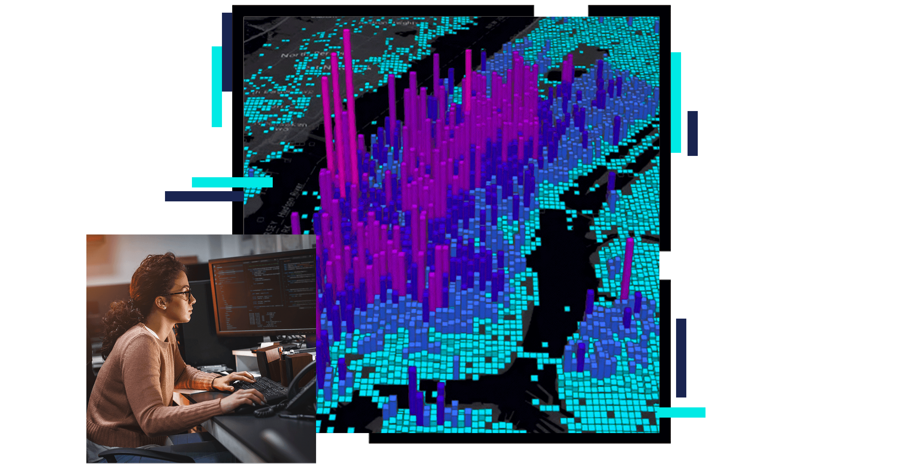
A concentration map in purple and blue on a black background, overlaid with a photo of a person working on a desktop computer in a softly lit gray cubicle

In data science, statistics is at the core of sophisticated machine learning algorithms, capturing and translating data patterns into actionable evidence. Many statistical organizations are beginning to use location as the connective thread to uncover hidden patterns and improve predictive modeling. ArcGIS is your analysis technology, allowing you to derive spatial relationships and process, visualize, and understand images and data. ArcGIS allows you to see patterns, facilitate collaboration, and accelerate your science.

Previous
Next

Your analysis system

Transform your data with geography

Turn raw location fields into analysis-ready data with ease. Benefit from tools made especially for spatial data prep. Use data from multiple sources to enable, extract, transform, and enrich location values. Give data meaning when you put it into context of the real world.

A graphic of a computer monitor displaying a grayscale concentration map of the US alongside several datasets and legends of analysis options

Make sense of your data

Visualize spatial patterns, trends, outliers, and anomalies. Generate hypotheses and keep your analysis moving forward. Explore your data to be sure you're asking the right questions. View raw data and results as part of the iterative analysis process.

A graphic of a computer monitor displaying a small map in red and green alongside several graphs and charts of related data

Spatial problem-solving

Go beyond simple map visualizations by integrating location data into your analysis. Answer spatial questions using the most comprehensive set of analytical methods and algorithms available. Perform site selection, find clusters, make predictions, and quantify how patterns change over time. Create sophisticated statistical and machine learning models that unlock the full potential of your data.

More on spatial analysis
A graphic of a computer monitor displaying a green computer-generated contour map overlaid on a grayscale photo of a related mountain vista

Powered by distributed architecture

Transform massive spatial data into manageable information. Use a distributed architecture to analyze and display large volumes of data. Ingest real-time data from sensors, social media feeds, and Internet of Things (IoT) systems. Let the Esri Geospatial Cloud automatically scale your analysis and data storage.

A graphic of a computer monitor displaying a point map in pale blue dots on a gray and black background

Model your world, automate and extend

Automate your spatial analysis processes. Train sophisticated analytical models using spatial data science tools and techniques. Reduce the chance of error and make your job easier and faster. Add new functionality to ArcGIS using Python and integrate with other data science modules and packages to solve any problem.

A graphic of a computer monitor displaying a colorful city map with an overlaid chart

New opportunities through innovation

Use machine learning and AI to train and infer using tools designed to solve the complex spatial problems you face. Combine powerful built-in tools with machine learning and deep learning frameworks you use, including sci-kit learn, TensorFlow, R, IBM Watson, and Microsoft AI. Use state-of-the-art algorithms to make data-driven decisions.

A graphic of a computer monitor displaying an aerial view of a green tree-filled suburb with houses shaded in blue

VISUALIZATION

Case study: Canada

Statistics Canada introduces a new way to view census data with a series of visualization tools built using ArcGIS and Geocortex software.

Read the case study

Products for data science

Previous
Next

Related official statistics industries

Statistics touches many parts of our lives. From policy and decision-making to electoral boundaries, public safety, and sustainability, official statistics and GIS are making our communities smarter.

Previous
Next

Contact sales

Connect with the Esri official statistics team