Skip to Content

Security and Resiliency

Enhance port safety and resilience

With a greater connected world comes greater port security concerns. Ports need to prepare for a wide range of scenarios, both natural and human caused. Esri's GIS technology provides comprehensive situational awareness to help you plan and respond with resiliency to any incident with fully coordinated action that ensures business continuity.

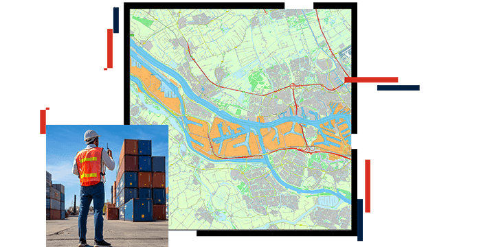
Comprehensive security view

During an emerging event, it is often difficult to know what is happening and where. Esri's location intelligence gives your port facility security management a holistic, real-time view of port activities, integrating a wide range of cameras and sensors, to give you comprehensive situational awareness.

Incident management

Having a coordinated response in real time is critical for incident management and for returning the port to operational status as quickly as possible. Not only does ArcGIS integrate with the leading emergency dispatch systems, but it also provides a visual communication from command center to field to ensure the most effective response.

Mobile coordination and communication

Ensuring tight coordination of your security management resources in the field is a critical requirement for successful response. Esri's location-enabled technology lets you see and communicate with all security personnel, ensuring continuous communication from command center to field.

CASE STUDY

Port of New Orleans: GIS for weather resiliency

To facilitate the protection of life, safety, and property during severe weather, Port of New Orleans implemented GIS in their emergency operations.

Read the case study

Contact sales

Connect with the Esri transportation team