Skip to Content

Conservation Land Management

An optimized toolset for protected area management

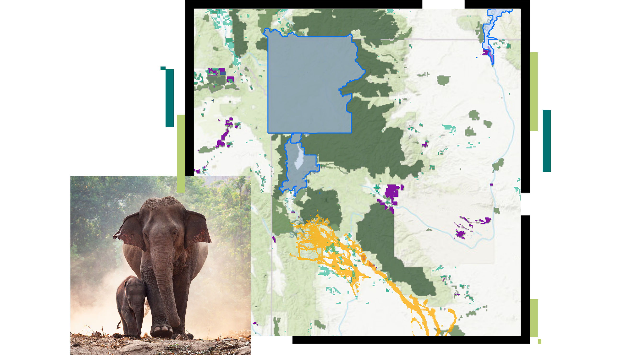
A map with a proposed conservation area outlined in blue overlaid with an image of an elephant and its calf

ArcGIS conservation solutions are designed through extensive engagement with leading protected area management organizations. These solutions offer powerful operational capabilities, dramatically reduce training and implementation costs, and support informed and timely conservation land management decisions.

Conservation solutions for protected areas

Track illegal activity

Many protected areas face pressure from illegal activities including poaching, encroachment, and deforestation. Conservation solutions streamline the collection of field observations and provide a digital chain of custody for law enforcement actions informing real-time monitoring dashboards to support timely decision-making.

Person with binoculars looks out at savannah

Monitor wildlife

Location-enabled wildlife field observations help protected area managers evaluate the effectiveness of management actions. Monitor trends derived from field information through spatial analysis to inform and evaluate protected area management strategies. Conservation solutions enable a data-driven approach to wildlife management in protected areas.

Two rhinoceroses in grassy area

Mitigate wildlife conflicts

Protected area management occurs within a complex tapestry of human-populated and wild landscapes. Historic encroachment into natural areas and corridors and, in rare cases, recovery of predator populations has led to increasing instances of human-wildlife conflict in local communities. Conservation solutions support the collection and monitoring of incidents adjacent to the protected area and support planning and actions to reduce conflict.

Village with thatched roof buildings in a lush landscape

Maintain park infrastructure

Conservation land management involves protecting natural areas while providing both basic infrastructure for visitors and recreation opportunities within national parks. Conservation solutions support planning of infrastructure projects, maintenance programs, and the efficient management of staff and resources essential to protected area management operations.

Giraffe beside a tree in grassy area with snowy mountains in the distance
Explore conservation solutions

INDUSTRY BLOG

American Prairie advances conservation with GIS

American Prairie aims to create one of the largest conservation areas in the United States. Learn how conservation solutions sustain their mission.

Read the blog

Conservation solutions

Previous
Next
Explore more solutions

Esri Conservation Program

For more than three decades, the Esri Conservation Program has provided technology and training assistance to conservation professionals around the globe.

Apply now

Connect with the Esri conservation team