
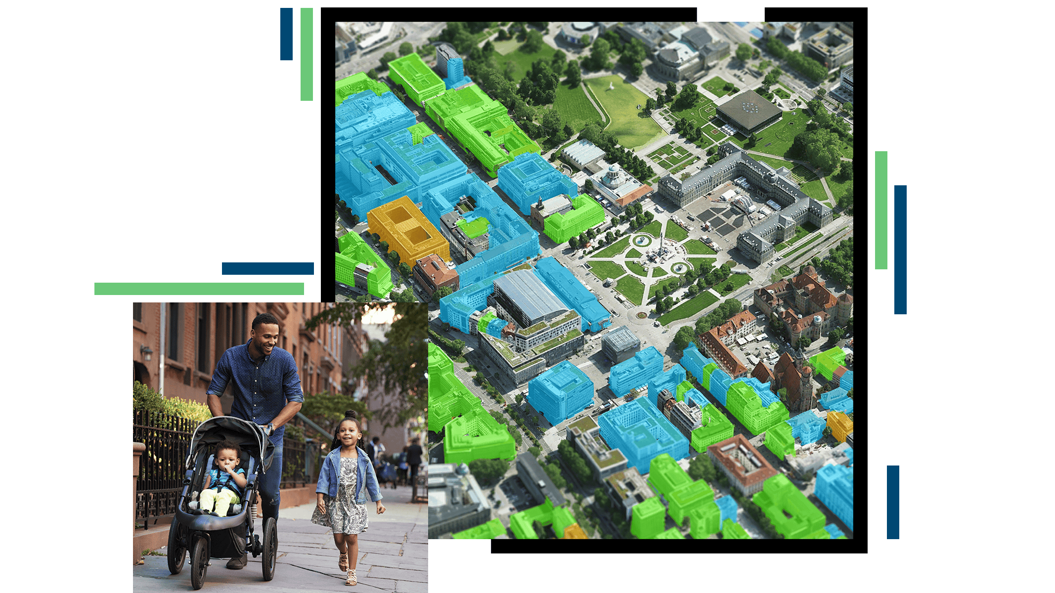
Visualize and analyze location data
Understand what a site or city will look like in the future with geospatial digital twins. These immersive 3D models help planners visualize scenarios by integrating zoning and land use information. This brings future possibilities to life—enabling informed decisions and resilient urban design.
Create detailed 3D models of new builds, compare development scenarios, assess site suitability, and engage with residents to ensure that plans align with your community’s vision.


