Strengthen your organization with digital solutions that increase efficiency and provide insight for decision-makers
Access to clean, reliable water is critical. Water is fundamental to national and local economic well-being and protection of life and property. Effective management of our most precious resource is essential to ensure sustainability.
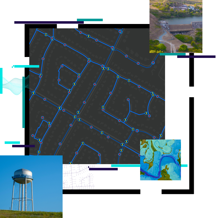
ArcGIS is an extensive information system that enables modernization of workflows with commercial off-the-shelf solutions for the field and office.
ArcGIS provides scientific information to resource managers and network information to utility managers.
ArcGIS connects stakeholders and allows the community to engage, collaborate, and share with easy-to-use maps and apps.