ARCGIS BLOG
Enhance Civic Engagement with Modern Communication Tools
By Christian Carlson
In our digital age, there is no shortage of information—it has never been easier to gather and share data, find an answer to a question, or dive deep into a topic of interest. But there remains a gap between what can be described as modern information access and effective modern communication. Despite the abundance of sources, there is often a lack of clarity and context that makes it challenging for recipients to assimilate, validate, and interpret the information they consume.
In the midst of today's crises, we have seen that it is more important than ever to champion credibility and accuracy when we communicate with constituents. This is especially true for government organizations. As citizens look for trustworthy information to help manage their lives, support decision-making, and participate in their communities, local governments can fill that space using innovative communication tools like location technology.
For organizations seeking improved methods of communication that create knowledge, empowerment, and confidence for their intended audience, the following six elements can be kept in mind. These serve as critical components in the effective modernization of public engagement platforms, guiding the use of geospatial tools to support understanding and inform action.
Destination: A Central Hub for Communication
Each government needs a modern, inviting web destination that serves as a central hub for information and communication. A single, purposeful destination ensures that citizens have one reliable and authoritative source they can turn to when they have questions. The destination must provide a desirable user experience—a user-friendly site encourages engagement and draws citizens back for future visits. It must also provide accessible applications and actionable information that aligns with what its users are looking for.
The City of Arlington, Texas, created a modern and accessible site for its constituents. It sends the message that this government is innovative and focused on its constituents' needs. It uses plain language; an open, navigable layout; and interactive, engaging tools, and key messages are provided up front. You can create your modern destination quickly using tools like ArcGIS Hub—learn more about standing up and customizing a destination here.
Organize Communication around Initiatives
Initiatives reflect meaningful aspects of the community and how a given organization supports them. Whether these initiatives exist in the long term as part of an organization's foundational role or serve as short-term efforts to respond to immediate needs, communicating about initiatives ensures clarity around an organization's work. An organized effort to describe the initiative, the purpose it serves, the approach to address it, the results of the work performed, and what happens next provides a clear picture of the initiative's value to your citizens. Transparency about the full life cycle of the initiative also allows your organization to be the authoritative source of information about your work and its impact.
The Montana Forest Action Plan is a great example of effective communication using the initiative approach. Take note of how this organization describes the entire initiative from purpose and mission to results and offers avenues for citizens to learn more and get involved. Detailed content like what is provided in the Montana Forest Action Plan reflects a best practice for governments responding to an acute challenge that is highly visible and driving civic engagement. For more information about citizen engagement through ArcGIS Hub, check out our quick start guide.
Use Storytelling to Create Context for Constituents
Citizens want to understand the steps their government is taking to address important issues in their community. All too often, though, the resources available to them are dense, have a large amount of data, or are simply not engaging to an individual who does not work in government. Examples include links to comprehensive plans or official legal statements explaining tax increases or policies. A much more effective approach is to provide these formal documents within the context of a story. Stories have a purpose and are intended to leave readers with a narrative they can understand and retell on their own. What's more, using this framework also benefits the storyteller because it forces clarity and organization of content.
Temple City, CA embraces ArcGIS StoryMaps to share a more effective and meaningful comprehensive plan. This method breaks the plan into meaningful components, uses location to create relevancy, and is communicated in a methodical manner that catalyzes better understanding for those not familiar with planning as a formal discipline.
The City and County of Denver, CO, also leveraged ArcGIS StoryMaps to articulate their Vision Zero traffic safety initiative and provide authoritative data to support the where, how, who, and when of the challenge. This is a complete story that gives the reader a comprehensive understanding of the project along with place-based information to provide context.
These interactive maps provide the flexibility to focus on a multi-media experience. "A World of Forests" is a perfect example of how organizations can use images to captivate, educate, and inspire. Another example, “Voices of the Grand Canyon,” incorporates audio in the user experience. This ability to synthesize mixed communication media allows users to better inform their audiences.
Create your own immersive storytelling experience with ArcGIS StoryMaps. Learn more about using this engaging tool on our tutorial page.
Answer Your Community's Most Common Questions
What government services are available to me at my address? What is the tax value of my house? When is recycling day at my address? Where are the polling places located in this election? Which school district is my new house in? Questions like these are the main drivers of traffic to government websites and call centers. Your organization's destination should provide clear and easy access to commonly asked questions and, if possible, actionable and interactive tools to help citizens understand their communities. Focused, device-agnostic applications can help accomplish this. Focused applications have a specified purpose, are easy to use, and give users exactly the information they want.
Fayetteville, Arkansas, uses location as the foundation for communicating government services and information. Note that the application provides users with quick and easy access to everyday information ranging from who the elected officials are to trails nearby.
Whiteside County, Illinois, chose to focus its hub, created using ArcGIS Hub, on one specific question. Its hub provides detailed and comprehensive data and information related to a specific area of interest: elections. This is warranted for services of high importance and increased inquiry from citizens. Read more about tools that can help get citizens engaged in local elections, especially during the ongoing COVID-19 pandemic here.
Support Citizen Participation
Many governments are eager to make civic participation a functional part of their data collection and community feedback process. Staffing shortfalls and/or the simple practicality of crowdsourcing are driving this trend. The best way for this to work at scale is to provide citizens with simple data capture applications that address topics they care about. Code violations, crime, blighted property, graffiti, wildlife observations, and trail conditions are great examples of the types of data collection scenarios that drive civic participation. Make these types of applications available to citizens as a way to drive their involvement while meeting an organizational need at the same time.
Dupage County, Illinois offers a complete menu of citizen reporting opportunities. This approach is truly comprehensive—it even describes the workflow used to respond to citizen input. This sends the message that Dupage County wants citizen participation and has set problem solving and citizen satisfaction as priorities.
The Field Museum Keller Science Action Center in Chicago has implemented a wonderful civic participation opportunity that supports research on the monarch butterfly. The site is a great example of how organizations can use ArcGIS Hub: it clearly lays out the research project, explains why it's important, and suggests how citizens can help support the effort through their direct participation. Imagine something similar for wildlife observations in your community!
To learn more about mapping tools for impactful interaction, visit our civic engagement page.
Use Location as the Framework for Communication
The use of maps and location technology provides an exceptional framework for creating context, ensuring understanding, and increasing engagement with citizens. When citizens are able to put initiatives, data, policies, and service offerings in the context of place, they become more engaged. We all live in and care about particular geographic areas, and the lens we see things through focuses around those locations. If you want to improve engagement with citizens, use a location-first strategy to deliver government information.
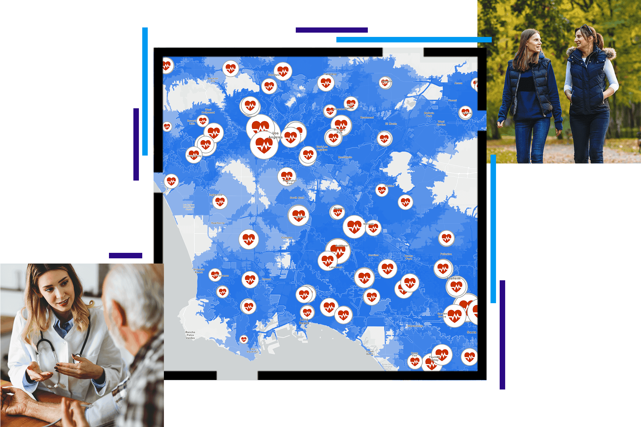
An example of how spatial analysis and visualization are used to drive better understanding is demonstrated in the Network Adequacy and Optimization Using ArcGIS story. This example reflects the complex challenge of health-care access and uses maps that address this challenge and give clear context to those seeking solutions.
See what SaaS GIS Can Do for You
Incorporating these six elements in public engagement platforms will transform the way citizens get and give information from and to their community government. And, with accessible, ready-to-use technologies, local governments and organizations can stand up trustworthy, authoritative, and interactive platforms quickly. Now, more than ever, is the time to modernize public engagement, and the tools to facilitate this transformation have never been more accessible.
For more inspiration, see the following case studies highlighting local governments' recent successes with GIS tools for citizen engagement:
Get Started
To speak with a representative about creating a hub using ArcGIS Hub templates for your organization, please complete the form below.