获取
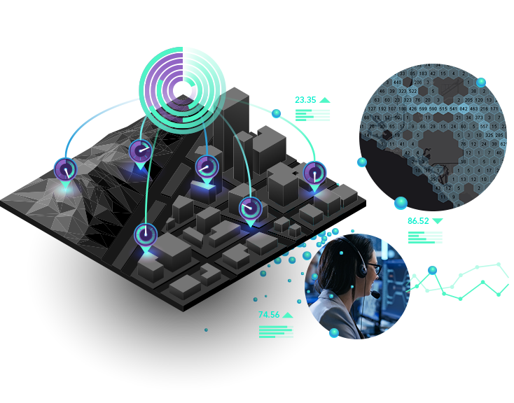
获取实时数据,包括来自静态传感器的输入、移动中的事物和正在发生的事件。

通过位置智能获得对实时信息和大数据的见解。
On-premises, requires ArcGIS Enterprise
Secure deployments in local or cloud environments
Real-time data ingestion, processing, and analysis
Advanced real-time processing
Extensibility and customer analysis
Software as a service (SaaS), requires ArcGIS Online
Kubernetes-based, cloud-native architecture
High-speed, real-time data ingestion; processing; and analysis
Big data analysis
Easy configuration and maintenance with built-in resiliency and failover