Featured resource
Emergency Management Operations solution
Manage daily and incident operations
Esri provides a complete solution suite for the most mission-critical operational challenges to help you save lives.

Solutions, data, and live feeds to support your response
Emergency Management Operations solution
Manage daily and incident operations
Best Practices for High Demand/Viral Apps
ArcGIS Blog
Putting the "Live" in Living Atlas of the World
ArcGIS Blog
Use this collection of Esri solutions and applications, blog articles, how-to guides, and map data layers to help plan and manage your disaster response.
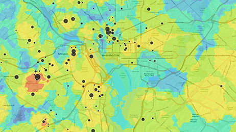
Use the Incident Status Dashboard template to monitor key indicators and current conditions in real time. With this level of situational awareness, you can share insights quickly with senior leadership so they can make more timely and effective decisions as potential issues emerge.
The Incident Briefing Solution template helps you share updates with executive decision makers so they can see what’s important and decide which actions to take. Use these apps for daily briefings or for status updates during disasters to keep decision makers proactively informed no matter the situation.
The ArcGIS Living Atlas of the World provides many valuable live feeds like weather and traffic that you can add directly to your maps and apps. These are hosted by Esri, other organizations, and our user community. Content relevant to disaster response and situational awareness is located in the Earth Observations section of the Environment category of the Living Atlas.
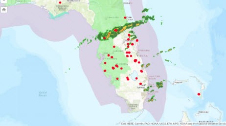
Use the Public Information solution template to share incident information and alerts with the public. Communicate about ongoing events using both authoritative emergency event data as well as ready-to-use data from Esri. Users can see the status of any active incidents, identify areas affected by official advisories, and read summaries for each incident or alert. When you use maps to keep the public informed, people can better understand how an emergency will impact them and take the appropriate precautions, helping reduce loss of life and property.
To share a map that contains subscriber content with the public, create a map-based app and configure it to allow access to the content through your organizational subscription.
Since ArcGIS Online leverages the cloud, it is designed to scale to accommodate a large load. Follow best practices like using hosted feature layer views and using tile layers for complex data to ensure you can get critical information out to your constituents to help them stay safe.
If you need GIS software or support for your current disaster response, please request assistance by completing the form. All requests should be fully justified and are subject to approval.