
Petroleum
Supporting the entire energy value chain with GIS
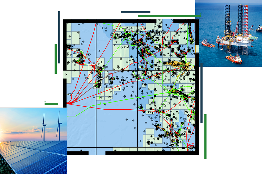
Petroleum segments
Previous
Next
Upcoming event
Esri European Energy Resources GIS Conference | November 2025

Our community
Find out how your peers are using Esri technology to achieve their goals.
