Create a central data repository
Provide a complete spatial platform to enable everyone in the organization to find, share, and analyze information when they need it.

Digitally transform natural resources management for greater sustainability
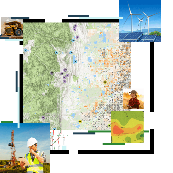
Location plays a critical role in all natural resource industries. Use maps and analysis of spatial data to visualize, understand, plan, and act when coordinating natural resource management programs. Optimize workflows and mitigate risk while improving regenerative practices and ensuring social equity.

Give data life through a series of maps, apps, and analytics that support your organization's digital transformation journey.
Provide easy access to relevant information in appropriate apps to uncover spatial patterns and analyze options for improvement.
Energize the planning process to improve operational workflows while mitigating risk for enhanced business performance.
Have confidence in the agile decisions that you make, and thrive as an organization with location at the center of operations.