Skip to Content
ArcGIS Roads and Highways

ArcGIS Roads and Highways

Measure-based location for the transportation industry

Contact us
Collage of images featuring highways, sign of California highway route one, a road with a measure, and vector street maps

ArcGIS Roads and Highways is a road network management system that lets you efficiently manage route and event data from multiple linear referencing systems (LRS) on a common geographic basis. Easily locate assets and characteristics on or around your road network and expand collaboration by sharing this data across your organization using a measure-based location method. 

Road network management


ArcGIS Roads and Highways is a linear referencing system solution providing industry-specific functionality to manage and locate roadway data. It allows you to integrate data from multiple linear referencing system networks to get a comprehensive view of your road network and perform dynamic segmentation and other analyses.

Enterprise LRS data management

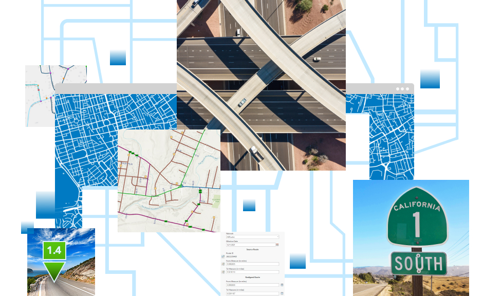
Maintain linear referenced data from across your enterprise in a single linear referencing system (LRS). ArcGIS Roads and Highways communicates updates to the LRS so you can continue working without waiting for the geographic information system (GIS) to clear its edit queue. Connect GIS data with disparate systems for unified highway data maintenance workflows.

Multiple LRM support

Manage multiple linear referencing methods (LRM) within a single linear referencing system, reducing data redundancy while supporting various measurement and location methods. ArcGIS Roads and Highways allows you to easily translate measures from different LRMs for use in analysis and reporting.

Event behavior management

Event behaviors are user-configured rules that manage how events should be updated when the route they're linear referenced against changes in location or measure. These rules are automatically applied, reducing the need to manually update your events when the route changes.

2D and 3D support

ArcGIS Roads and Highways is a 3D application, allowing the visualization and editing of linear referenced data in both 2D and 3D. You can also choose to apply the measures to your linear referencing system in either 2D or 3D depending on how the data is modeled within your organization.

Time-aware system

Linear referenced data that is maintained using ArcGIS Roads and Highways is time aware. This provides you with representations of your data before and after any editing occurs, allowing for time-based analysis of linear referenced data.

External systems integration

With ArcGIS Roads and Highways, the measurements associated with data in external systems can be kept current and synchronized with the edits made to the linear referencing system. This enables data interoperability and sharing across all business units.

Integrate enterprise data in an authoritative LRS

Series of circles to depict integration of roads and highways data with third party systems such as planning and maintenance

Maintain

Easily visualize and maintain your roadway networks and associated data with built-in route and event editing tools.

Share

Expand the reach of your road networks by sharing linear referenced data using ArcGIS Enterprise and ArcGIS Online.

Report

Utilize your linear referenced data to support annual reporting, such as HPMS, as well as ad hoc requests such as mileage and roadway segment reports.

An integrated system of systems for road network management

previous
Next

Part of ArcGIS

Extend linear referencing throughout your organization by maintaining and sharing your road network using the ArcGIS system. Perform analysis such as dynamic segmentation and utilize linear referenced data for reporting and other decision-making within your organization.

ArcGIS Pro

ArcGIS Pro

Load and edit your linear referenced data by using ArcGIS Pro to efficiently manage your road network.

Learn more about ArcGIS Pro
ArcGIS Enterprise

ArcGIS Enterprise

Put the editing of linear referenced event data in the hands of those who know it best across your enterprise by using ArcGIS Enterprise and the Event Editor web application.

Discover ArcGIS Enterprise
ArcGIS Online

ArcGIS Online

Share your linear referenced data with your entire organization to support decision-making and analysis.

Explore ArcGIS Online
ArcGIS Field Maps

ArcGIS Field Maps

Collect linear referenced data in the field using ArcGIS Field Maps to be managed by ArcGIS Roads and Highways.

Learn more about Field Maps

Resources

Access documentation, system requirements, and videos with demos to learn more about ArcGIS Roads and Highways.

previous
Next

Contact sales


Please share your information, and our sales team will contact you soon. We look forward to communicating with you.

Contact us

Outside the United States