Geodesign: Past, Present, and Future
Geodesign thought leaders share how we got here, where we are today, and where the technology might take us.

A new age of geography is dawning: the age of geodesign.
Geodesign combines geography with design by providing designers with robust tools that support rapid evaluation of design alternatives against the impacts of those designs.
Geodesign infuses design with a blend of science- and value-based information to help designers, planners, and stakeholders make better-informed decisions.
Globalization, population growth, climate change, and increasing demands for resources are serious problems. Geodesign is the solution.
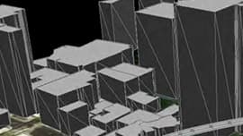
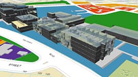
Geodesign gives us a powerful new context for extending our traditional methods of looking at geography—a new canvas that includes everything that lies below, on, above, and around the earth, including what exists inside and outside of buildings, as well as how things connect and how all of these things change through time.
It gives us a new context for understanding, for moving beyond traditional mapping for navigation and location, and for using our maps for proactive designing and decision making.
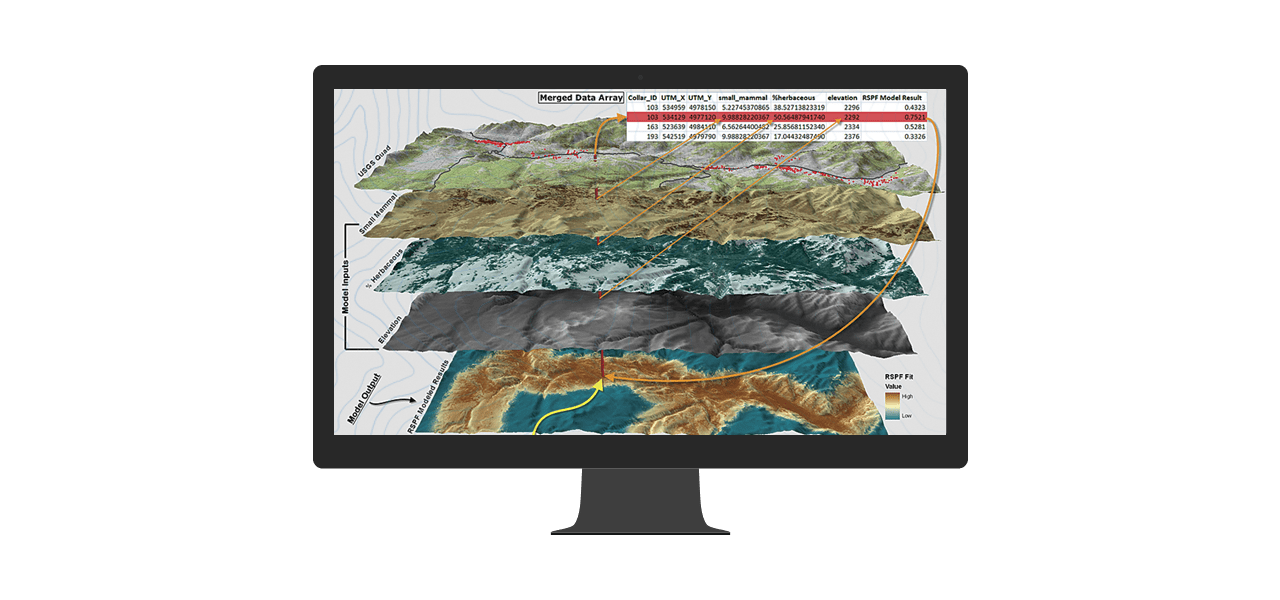
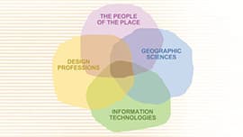
Today more than ever we need access to geology, biology, ecology, hydrology, meteorology, and other science data during the design process. Building on a strong foundation of geographic information systems (GIS) technology, geodesign extends our analytical capabilities to automate the calculation of hazards, risk, sensitivity, capacity, proximity, accessibility, vulnerability, and other factors to inform design decisions. Bringing science into the design process without compromising the art of design is enabled by the new tools and enhanced workflows of geodesign.
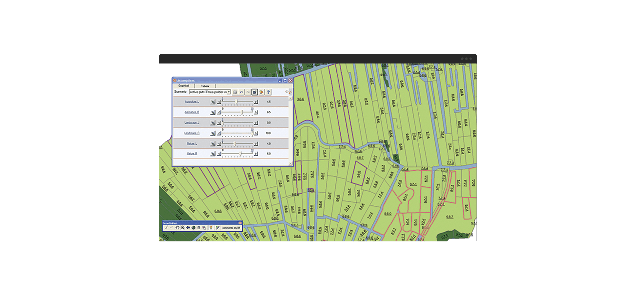
Geodesign fosters collaborative decision making. It helps us to see connections between geography and society. Geodesign brings people together so that participants from different backgrounds and points of view can run what-if scenarios based on their assumptions and assess the consequences of those assumptions. People are often more in agreement than they initially realize, and discovering this can make reconciling differences a much easier process.
Read "From Maps to GeoDesign."
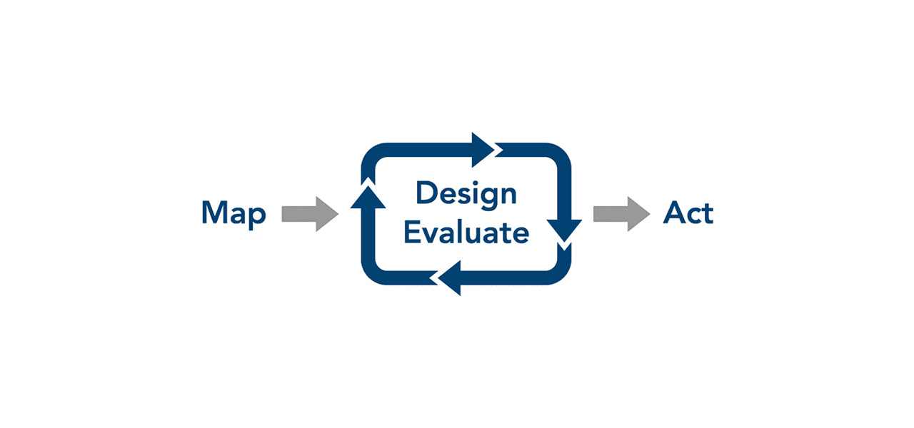
A typical project will go through many iterations of design and evaluation. Because design and evaluation have traditionally been separate disciplines, this phase of a project can be time-consuming and tedious.
Geodesign reduces the time and tedium of these iterations by integrating evaluation directly into the design workflow. Because of this integration, geodesign offers a powerful alternative to traditional processes. It allows designers and evaluators to work closely together to significantly lessen the time it takes to produce and evaluate design iterations.
In this changing world, we must manage our actions in ways that maximize benefits to society while minimizing impacts on the environment. Geodesign gives us a framework for a comprehensive understanding of the impacts of our decisions on the planet—and for using this information to make the world a better place. It will help us make more logical, scientific, sustainable, and forward-looking decisions.
Geodesign is our best hope for designing a better world.
Geodesign: Past, Present, and Future
Geodesign in Practice: Designing a Better World
Introducing Geodesign: The Concept
A Framework for Geodesign
The Role of GIS Technology in Sustaining the Built
GIS in Education
Changing Geography by Design: Selected Readings